Pinhão night lights from space
Night Light of Pinhão (Paraná) from space (Brazil) Src. Average luminocity for 10x10km area is 10.6629% and for 50x50km: 0.9885%.
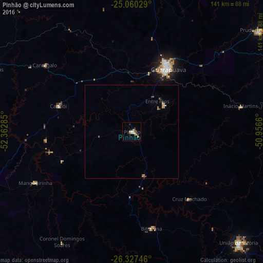
Analysis of Pinhão night lights 2016
Square area 10x10 km:
 0.19%
0.19%90-99
2.08%80-89
1.89%70-79
2.27%60-69
0.38%50-59
2.27%40-49
1.52%30-39
1.14%20-29
1.89%10-19
0.76%0-9
85.61%Square area 50x50 km:
0.02%90-99
0.15%80-89
0.15%70-79
0.24%60-69
0.08%50-59
0.24%40-49
0.16%30-39
0.05%20-29
0.08%10-19
0.08%0-9
98.73%Clear (daylight) street map image can be seen on geolist.org.
Map coordinates:
25° 3' 37" South, 52° 21' 46.3" West
25° 41' 44" South, 51° 39' 35" West
26° 19' 38.9" South, 50° 57' 23.8" West
Some cities around Pinhão sort by population:
• Guarapuava
39.1 km =24.3 mi,  29°
29°
• União da Vitória
82.6 km =51.3 mi,  136°
136°
• Palmas
93.7 km =58.2 mi,  200°
200°
• Porto União
83.8 km =52.1 mi, 136°
• Prudentópolis
87 km =54.1 mi,  51°
51°
• Laranjeiras do Sul
82.3 km =51.1 mi,  292°
292°
• Coronel Vivida
96.2 km =59.8 mi,  250°
250°
• Chopinzinho
88.3 km =54.9 mi,  258°
258°
3453777 (p: 15,141)
Sources (retrieved 2019-11-25):
» Earth at Night: Flat Maps 2012, 2016