Porto União night lights from space
Night Light of Porto União (Santa Catarina) from space (Brazil) Src. Average luminocity for 10x10km area is 36.256% and for 50x50km: 1.9341%.
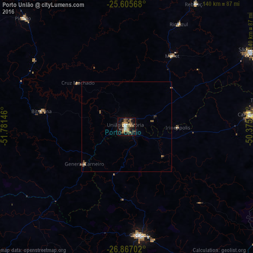
Analysis of Porto União night lights 2016
Square area 10x10 km:
 3.37%
3.37%90-99
3.37%80-89
4.37%70-79
7.14%60-69
6.75%50-59
7.34%40-49
8.73%30-39
5.56%20-29
4.56%10-19
33.33%0-9
15.48%Square area 50x50 km:
0.15%90-99
0.15%80-89
0.17%70-79
0.34%60-69
0.31%50-59
0.44%40-49
0.46%30-39
0.3%20-29
0.24%10-19
1.52%0-9
95.93%Clear (daylight) street map image can be seen on geolist.org.
Map coordinates:
25° 36' 20.4" South, 51° 46' 53.3" West
26° 14' 17" South, 51° 4' 42" West
26° 52' 1.3" South, 50° 22' 30.8" West
Some cities around Porto União sort by population:
• Caçador
60.1 km =37.3 mi,  173°
173°
• União da Vitória
1.2 km =0.7 mi,  318°
318°
• Videira
86 km =53.4 mi,  184°
184°
• Palmas
94.9 km =59 mi,  253°
253°
• Canoinhas
69 km =42.9 mi,  84°
84°
• São Mateus do Sul
80.4 km =50 mi,  59°
59°
• Pinhão
83.8 km =52.1 mi, 316°
• Três Barras
76.9 km =47.8 mi, 79°
3452623 (p: 28,907)
Sources (retrieved 2019-11-25):
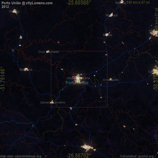
» Earth at Night: Flat Maps 2012, 2016