Guarapuava night lights from space
Night Light of Guarapuava (Paraná) from space (Brazil) Src. Average luminocity for 10x10km area is 57.2639% and for 50x50km: 3.722%.
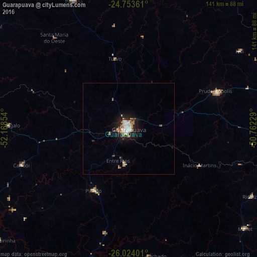
Analysis of Guarapuava night lights 2016
Square area 10x10 km:
 14.29%
90-99
15.48%80-89
4.37%70-79
8.13%60-69
11.11%50-59
5.36%40-49
1.19%30-39
3.97%20-29
13.29%10-19
19.84%0-9
2.98%Square area 50x50 km:
0.58%90-99
0.68%80-89
0.28%70-79
0.6%60-69
0.57%50-59
0.48%40-49
0.25%30-39
0.24%20-29
0.88%10-19
3.03%0-9
92.41%Clear (daylight) street map image can be seen on geolist.org.
Map coordinates:
24° 45' 13" South, 52° 10' 6.7" West
25° 23' 25.7" South, 51° 27' 55.5" West
26° 1' 26.4" South, 50° 45' 44.2" West
Some cities around Guarapuava sort by population:
• União da Vitória
100.8 km =62.6 mi,  157°
157°
• Irati
82.2 km =51.1 mi,  95°
95°
• Imbituva
88.4 km =54.9 mi,  78°
78°
• Prudentópolis
52.8 km =32.8 mi,  68°
68°
• Pitanga
76.5 km =47.5 mi,  337°
337°
• Laranjeiras do Sul
95.5 km =59.3 mi,  268°
268°
• Pinhão
39.1 km =24.3 mi,  209°
209°
• Cândido de Abreu
92.5 km =57.5 mi,  8°
8°
3461879 (p: 150,850)
Sources (retrieved 2019-11-25):
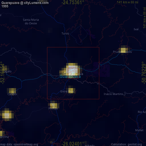
» NASA, Earths city lights 1995
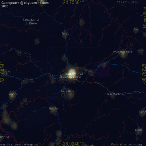
» NASA city lights 2003
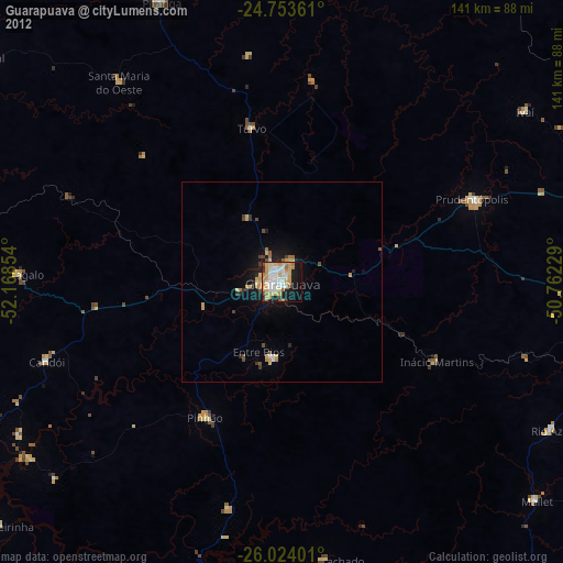
» Earth at Night: Flat Maps 2012, 2016