Palmas night lights from space
Night Light of Palmas (Paraná) from space (Brazil) Src. Average luminocity for 10x10km area is 21.9924% and for 50x50km: 0.9946%.
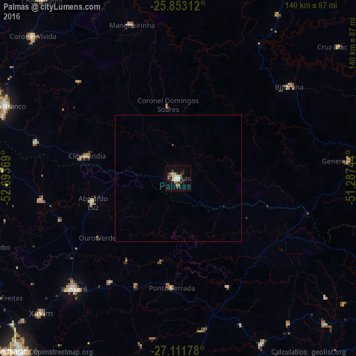
Analysis of Palmas night lights 2016
Square area 10x10 km:
 2.65%
2.65%90-99
3.22%80-89
3.22%70-79
0.95%60-69
2.84%50-59
3.03%40-49
3.98%30-39
6.25%20-29
2.46%10-19
11.74%0-9
59.66%Square area 50x50 km:
0.11%90-99
0.13%80-89
0.13%70-79
0.04%60-69
0.12%50-59
0.12%40-49
0.19%30-39
0.25%20-29
0.1%10-19
0.51%0-9
98.29%Clear (daylight) street map image can be seen on geolist.org.
Map coordinates:
25° 51' 11.2" South, 52° 41' 37.3" West
26° 29' 3" South, 51° 59' 26" West
27° 6' 42.4" South, 51° 17' 14.8" West
Some cities around Palmas sort by population:
• Pato Branco
73.5 km =45.7 mi,  292°
292°
• Concórdia
83.5 km =51.9 mi,  182°
182°
• Xanxerê
60 km =37.3 mi,  223°
223°
• Joaçaba
91 km =56.5 mi,  148°
148°
• Coronel Vivida
80.4 km =50 mi,  314°
314°
• São Lourenço do Oeste
86.8 km =53.9 mi,  279°
279°
• Clevelândia
48.8 km =30.3 mi, 281°
• Chopinzinho
87.8 km =54.6 mi,  322°
322°
3455459 (p: 39,150)
Sources (retrieved 2019-11-25):
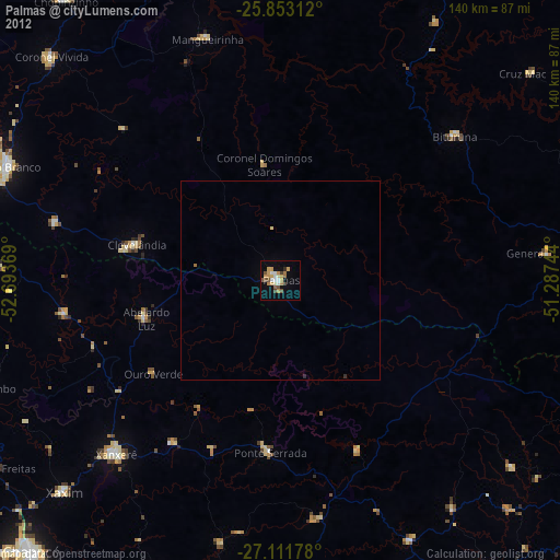
» Earth at Night: Flat Maps 2012, 2016