Laranjeiras do Sul night lights from space
Night Light of Laranjeiras do Sul (Paraná) from space (Brazil) Src. Average luminocity for 10x10km area is 15.3194% and for 50x50km: 1.0174%.
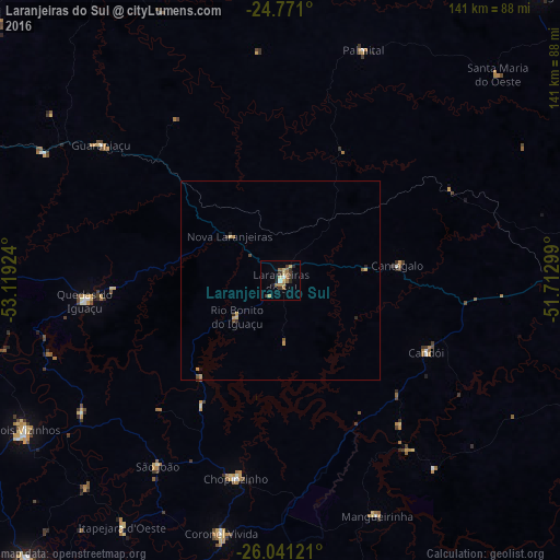
Analysis of Laranjeiras do Sul night lights 2016
Square area 10x10 km:
 1.59%
1.59%90-99
0%80-89
2.58%70-79
2.18%60-69
4.96%50-59
2.18%40-49
0.4%30-39
4.76%20-29
2.38%10-19
1.59%0-9
77.38%Square area 50x50 km:
0.06%90-99
0%80-89
0.19%70-79
0.25%60-69
0.23%50-59
0.16%40-49
0.09%30-39
0.25%20-29
0.22%10-19
0.09%0-9
98.47%Clear (daylight) street map image can be seen on geolist.org.
Map coordinates:
24° 46' 15.6" South, 53° 7' 9.3" West
25° 24' 28" South, 52° 24' 58" West
26° 2' 28.4" South, 51° 42' 46.8" West
Some cities around Laranjeiras do Sul sort by population:
• Guarapuava
95.5 km =59.3 mi,  88°
88°
• Pato Branco
94.8 km =58.9 mi,  195°
195°
• Dois Vizinhos
73.8 km =45.9 mi,  240°
240°
• Pitanga
97.9 km =60.8 mi,  42°
42°
• Coronel Vivida
65.4 km =40.6 mi,  193°
193°
• Pinhão
82.3 km =51.1 mi,  112°
112°
• Chopinzinho
51 km =31.7 mi, 192°
• Guaraniaçu
57.6 km =35.8 mi,  306°
306°
3458746 (p: 18,424)
Sources (retrieved 2019-11-25):
» Earth at Night: Flat Maps 2012, 2016