Aparecida do Taboado night lights from space
Night Light of Aparecida do Taboado (Mato Grosso do Sul) from space (Brazil) Src. Average luminocity for 10x10km area is 19.4444% and for 50x50km: 2.392%.
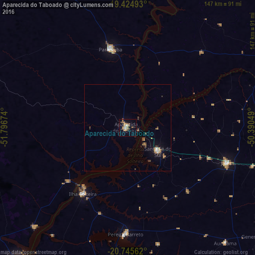
Analysis of Aparecida do Taboado night lights 2016
Square area 10x10 km:
 2.58%
2.58%90-99
1.59%80-89
0.79%70-79
5.56%60-69
4.56%50-59
0.2%40-49
4.96%30-39
0.2%20-29
0.99%10-19
8.33%0-9
70.24%Square area 50x50 km:
0.21%90-99
0.22%80-89
0.07%70-79
0.61%60-69
0.44%50-59
0.11%40-49
0.61%30-39
0.23%20-29
0.26%10-19
0.95%0-9
96.29%Clear (daylight) street map image can be seen on geolist.org.
Map coordinates:
19° 25' 29.7" South, 51° 47' 48.3" West
20° 5' 12" South, 51° 5' 37" West
20° 44' 44.2" South, 50° 23' 25.8" West
Some cities around Aparecida do Taboado sort by population:
• Fernandópolis
91.1 km =56.6 mi,  103°
103°
• Andradina
94.8 km =58.9 mi,  198°
198°
• Jales
60.7 km =37.7 mi,  109°
109°
• Paranaíba
46.6 km =29 mi,  347°
347°
• Santa Fé do Sul
22.3 km =13.9 mi,  128°
128°
• Ilha Solteira
46.4 km =28.8 mi,  214°
214°
• Pereira Barreto
61.4 km =38.2 mi,  181°
181°
• Auriflama
87.1 km =54.1 mi,  139°
139°
3471940 (p: 17,332)
Sources (retrieved 2019-11-25):
» Earth at Night: Flat Maps 2012, 2016