Quixeramobim night lights from space
Night Light of Quixeramobim (Ceará) from space (Brazil) Src. Average luminocity for 10x10km area is 23.5806% and for 50x50km: 1.9028%.

Analysis of Quixeramobim night lights 2016
Square area 10x10 km:
 4.55%
4.55%90-99
7.64%80-89
1.45%70-79
0.41%60-69
0.83%50-59
2.07%40-49
2.07%30-39
3.72%20-29
2.07%10-19
19.21%0-9
55.99%Square area 50x50 km:
0.19%90-99
0.34%80-89
0.1%70-79
0.15%60-69
0.11%50-59
0.42%40-49
0.34%30-39
0.39%20-29
0.39%10-19
0.95%0-9
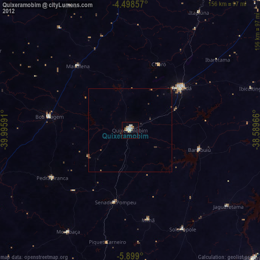
96.61%Clear (daylight) street map image can be seen on geolist.org.
Map coordinates:
4° 29' 54.9" South, 39° 59' 45.3" West
5° 11' 57" South, 39° 17' 34" West
5° 53' 56.4" South, 38° 35' 22.8" West
Some cities around Quixeramobim sort by population:
• Quixadá
39.8 km =24.7 mi,  50°
50°
• Canindé
93.5 km =58.1 mi,  358°
358°
• Morada Nova
102.4 km =63.6 mi,  84°
84°
• Boa Viagem
49.3 km =30.6 mi,  279°
279°
• Acopiara
101.2 km =62.9 mi,  190°
190°
• Pedra Branca
54.9 km =34.1 mi,  238°
238°
• Mombaça
70.9 km =44.1 mi,  211°
211°
• Senador Pompeu
44.1 km =27.4 mi, 191°
3390901 (p: 34,321)
Sources (retrieved 2019-11-25):
» Earth at Night: Flat Maps 2012, 2016