Senador Pompeu night lights from space
Night Light of Senador Pompeu (Ceará) from space (Brazil) Src. Average luminocity for 10x10km area is 8.0496% and for 50x50km: 1.1959%.
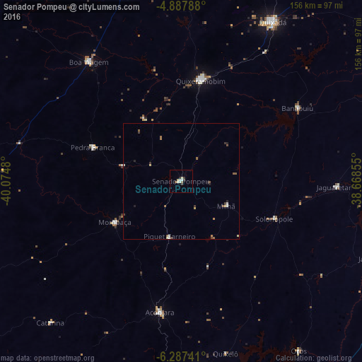
Analysis of Senador Pompeu night lights 2016
Square area 10x10 km:
 1.03%
1.03%90-99
2.48%80-89
1.45%70-79
0%60-69
0%50-59
1.45%40-49
0.62%30-39
2.48%20-29
0.41%10-19
0%0-9
90.08%Square area 50x50 km:
0.09%90-99
0.23%80-89
0.19%70-79
0.1%60-69
0.15%50-59
0.28%40-49
0.17%30-39
0.28%20-29
0.19%10-19
0.03%0-9
98.29%Clear (daylight) street map image can be seen on geolist.org.
Map coordinates:
4° 53' 16.4" South, 40° 4' 29.3" West
5° 35' 17" South, 39° 22' 18" West
6° 17' 14.7" South, 38° 40' 6.8" West
Some cities around Senador Pompeu sort by population:
• Iguatu
86.1 km =53.5 mi,  174°
174°
• Quixadá
79.1 km =49.2 mi,  29°
29°
• Quixeramobim
44.1 km =27.4 mi,  11°
11°
• Boa Viagem
64.9 km =40.3 mi,  322°
322°
• Acopiara
57.1 km =35.5 mi,  189°
189°
• Pedra Branca
41 km =25.5 mi,  291°
291°
• Mombaça
33.1 km =20.6 mi,  238°
238°
• Orós
88.8 km =55.2 mi,  145°
145°
3387926 (p: 16,515)
Sources (retrieved 2019-11-25):
» Earth at Night: Flat Maps 2012, 2016