Paranaíba night lights from space
Night Light of Paranaíba (Mato Grosso do Sul) from space (Brazil) Src. Average luminocity for 10x10km area is 24.3058% and for 50x50km: 1.0634%.
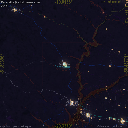
Analysis of Paranaíba night lights 2016
Square area 10x10 km:
 3.31%
3.31%90-99
3.31%80-89
2.27%70-79
6.2%60-69
4.55%50-59
1.03%40-49
4.13%30-39
0%20-29
2.27%10-19
17.98%0-9
54.96%Square area 50x50 km:
0.13%90-99
0.13%80-89
0.09%70-79
0.24%60-69
0.18%50-59
0.04%40-49
0.19%30-39
0.01%20-29
0.09%10-19
0.71%0-9
98.2%Clear (daylight) street map image can be seen on geolist.org.
Map coordinates:
19° 0' 49.7" South, 51° 53' 38.3" West
19° 40' 38" South, 51° 11' 27" West
20° 20' 16.4" South, 50° 29' 15.8" West
Some cities around Paranaíba sort by population:
• Fernandópolis
119.5 km =74.3 mi,  124°
124°
• Jales
94.2 km =58.5 mi,  134°
134°
• Iturama
104.3 km =64.8 mi,  93°
93°
• Santa Fé do Sul
65.5 km =40.7 mi,  154°
154°
• Ilha Solteira
85.5 km =53.1 mi,  190°
190°
• Pereira Barreto
107.2 km =66.6 mi,  175°
175°
• Cassilândia
84.7 km =52.6 mi,  317°
317°
• Aparecida do Taboado
46.6 km =29 mi,  167°
167°
3455065 (p: 32,217)
Sources (retrieved 2019-11-25):
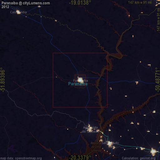
» Earth at Night: Flat Maps 2012, 2016