Cassilândia night lights from space
Night Light of Cassilândia (Mato Grosso do Sul) from space (Brazil) Src. Average luminocity for 10x10km area is 12.8268% and for 50x50km: 0.6597%.
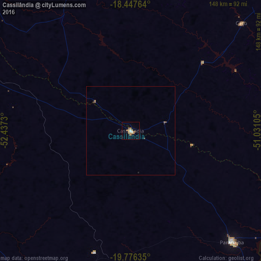
Analysis of Cassilândia night lights 2016
Square area 10x10 km:
 0.87%
0.87%90-99
1.73%80-89
1.08%70-79
3.9%60-69
3.9%50-59
1.52%40-49
0.87%30-39
0%20-29
0%10-19
0.87%0-9
85.28%Square area 50x50 km:
0.03%90-99
0.07%80-89
0.04%70-79
0.18%60-69
0.21%50-59
0.09%40-49
0.1%30-39
0.01%20-29
0.06%10-19
0.07%0-9
99.15%Clear (daylight) street map image can be seen on geolist.org.
Map coordinates:
18° 26' 51.5" South, 52° 26' 14.3" West
19° 6' 48" South, 51° 44' 3" West
19° 46' 34.9" South, 51° 1' 51.8" West
Some cities around Cassilândia sort by population:
• Rio Verde
169.2 km =105.1 mi,  30°
30°
• Jataí
137.2 km =85.3 mi,  0°
0°
• Paranaíba
84.7 km =52.6 mi,  137°
137°
• Quirinópolis
153.9 km =95.6 mi,  61°
61°
• Santa Fé do Sul
148.5 km =92.3 mi,  145°
145°
• Ilha Solteira
152.3 km =94.6 mi,  164°
164°
• Aparecida do Taboado
127.3 km =79.1 mi, 148°
• Caçu
88.7 km =55.1 mi,  45°
45°
3466750 (p: 18,497)
Sources (retrieved 2019-11-25):
» Earth at Night: Flat Maps 2012, 2016