Jequitinhonha night lights from space
Night Light of Jequitinhonha (Minas Gerais) from space (Brazil) Src. Average luminocity for 10x10km area is 8.1839% and for 50x50km: 0.4252%.
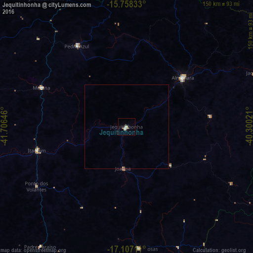
Analysis of Jequitinhonha night lights 2016
Square area 10x10 km:
 1.24%
1.24%90-99
1.86%80-89
1.24%70-79
1.45%60-69
0%50-59
0.83%40-49
0.83%30-39
1.65%20-29
0%10-19
0.83%0-9
90.08%Square area 50x50 km:
0.07%90-99
0.07%80-89
0.05%70-79
0.08%60-69
0.02%50-59
0.05%40-49
0.05%30-39
0.07%20-29
0.02%10-19
0.03%0-9
99.49%Clear (daylight) street map image can be seen on geolist.org.
Map coordinates:
15° 45' 30" South, 41° 42' 23.3" West
16° 26' 2" South, 41° 0' 12" West
17° 6' 25.6" South, 40° 18' 0.8" West
Some cities around Jequitinhonha sort by population:
• Almenara
43.1 km =26.8 mi,  49°
49°
• Pedra Azul
57.1 km =35.5 mi,  326°
326°
• Águas Vermelhas
90.6 km =56.3 mi, 327°
• Medina
55.7 km =34.6 mi,  294°
294°
• Itanhém
108.5 km =67.4 mi,  138°
138°
• Águas Formosas
72.4 km =45 mi,  174°
174°
• Padre Paraíso
87.7 km =54.5 mi,  215°
215°
• Joaíma
24.7 km =15.3 mi,  186°
186°
3459925 (p: 15,463)
Sources (retrieved 2019-11-25):
» Earth at Night: Flat Maps 2012, 2016