Medina night lights from space
Night Light of Medina (Minas Gerais) from space (Brazil) Src. Average luminocity for 10x10km area is 6.3492% and for 50x50km: 0.5705%.
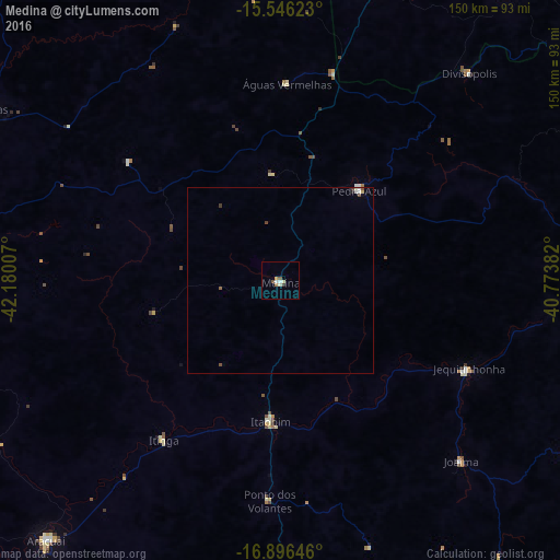
Analysis of Medina night lights 2016
Square area 10x10 km:
 0.83%
0.83%90-99
1.65%80-89
0.83%70-79
0.83%60-69
0.83%50-59
0.83%40-49
0.83%30-39
0.41%20-29
0.41%10-19
0%0-9
92.56%Square area 50x50 km:
0.08%90-99
0.15%80-89
0.05%70-79
0.05%60-69
0.03%50-59
0.11%40-49
0.09%30-39
0.12%20-29
0.03%10-19
0.03%0-9
99.26%Clear (daylight) street map image can be seen on geolist.org.
Map coordinates:
15° 32' 46.4" South, 42° 10' 48.3" West
16° 13' 21" South, 41° 28' 37" West
16° 53' 47.3" South, 40° 46' 25.8" West
Some cities around Medina sort by population:
• Almenara
83.7 km =52 mi,  87°
87°
• Salinas
87 km =54.1 mi,  273°
273°
• Taiobeiras
93 km =57.8 mi,  299°
299°
• Araçuaí
94.1 km =58.5 mi,  222°
222°
• Pedra Azul
30.9 km =19.2 mi,  38°
38°
• Águas Vermelhas
52.9 km =32.9 mi,  1°
1°
• Jequitinhonha
55.7 km =34.6 mi,  114°
114°
• Joaíma
67.6 km =42 mi,  135°
135°
3457358 (p: 14,686)
Sources (retrieved 2019-11-25):
» Earth at Night: Flat Maps 2012, 2016