Divinópolis night lights from space
Night Light of Divinópolis (Minas Gerais) from space (Brazil) Src. Average luminocity for 10x10km area is 69.4226% and for 50x50km: 7.2048%.
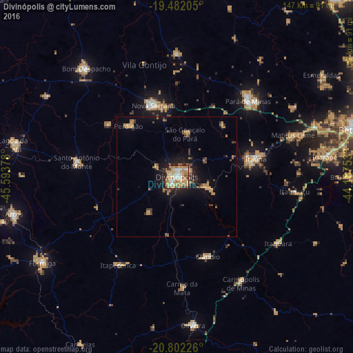
Analysis of Divinópolis night lights 2016
Square area 10x10 km:
 7.34%
7.34%90-99
13.1%80-89
12.1%70-79
25.2%60-69
21.03%50-59
1.59%40-49
5.56%30-39
3.97%20-29
7.94%10-19
2.18%0-9
0%Square area 50x50 km:
0.3%90-99
0.56%80-89
0.69%70-79
2.46%60-69
1.55%50-59
0.46%40-49
1.07%30-39
0.86%20-29
1.34%10-19
4.93%0-9
85.77%Clear (daylight) street map image can be seen on geolist.org.
Map coordinates:
19° 28' 55.4" South, 45° 35' 37.6" West
20° 8' 36.8" South, 44° 53' 26.3" West
20° 48' 8.1" South, 44° 11' 15.1" West
Some cities around Divinópolis sort by population:
• Itaúna
33.7 km =20.9 mi,  76°
76°
• Pará de Minas
43.2 km =26.8 mi,  43°
43°
• Mateus Leme
51.4 km =31.9 mi,  70°
70°
• Santo Antônio do Monte
42.5 km =26.4 mi,  278°
278°
• Cláudio
35.8 km =22.2 mi,  158°
158°
• Pitangui
51.2 km =31.8 mi,  0°
0°
• Itapecerica
44 km =27.3 mi,  213°
213°
• Carmo do Cajuru
13.3 km =8.3 mi,  109°
109°
3464688 (p: 193,832)
Sources (retrieved 2019-11-25):
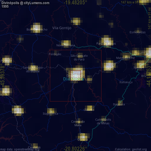
» NASA, Earths city lights 1995
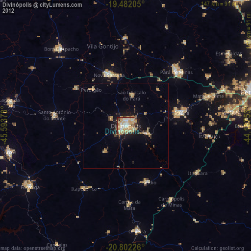
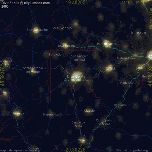
» NASA city lights 2003
» Earth at Night: Flat Maps 2012, 2016