Mozarlândia night lights from space
Night Light of Mozarlândia (Goiás) from space (Brazil) Src. Average luminocity for 10x10km area is 9.876% and for 50x50km: 0.4116%.
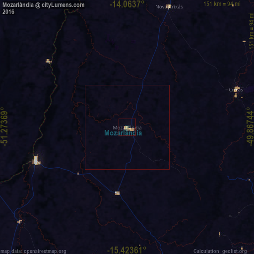
Analysis of Mozarlândia night lights 2016
Square area 10x10 km:
 0%
0%90-99
0%80-89
1.03%70-79
5.58%60-69
1.45%50-59
2.69%40-49
0.21%30-39
1.45%20-29
0.83%10-19
0%0-9
86.78%Square area 50x50 km:
0%90-99
0%80-89
0.04%70-79
0.22%60-69
0.06%50-59
0.11%40-49
0.01%30-39
0.06%20-29
0.03%10-19
0%0-9
99.47%Clear (daylight) street map image can be seen on geolist.org.
Map coordinates:
14° 3' 49.3" South, 51° 16' 25.3" West
14° 44' 41" South, 50° 34' 14" West
15° 25' 25" South, 49° 52' 2.8" West
Some cities around Mozarlândia sort by population:
• Itapuranga
112.8 km =70.1 mi,  143°
143°
• Ceres
121.8 km =75.7 mi,  120°
120°
• Rubiataba
94.7 km =58.8 mi, 119°
• Itapaci
112.1 km =69.7 mi,  101°
101°
• Crixás
68.3 km =42.4 mi,  71°
71°
• Rialma
123.4 km =76.7 mi, 120°
• Itapirapuã
120 km =74.6 mi,  182°
182°
• Carmo do Rio Verde
114.8 km =71.3 mi,  126°
126°
3456642 (p: 11,251)
Sources (retrieved 2019-11-25):
» Earth at Night: Flat Maps 2012, 2016