Crixás night lights from space
Night Light of Crixás (Goiás) from space (Brazil) Src. Average luminocity for 10x10km area is 9.8939% and for 50x50km: 0.3924%.
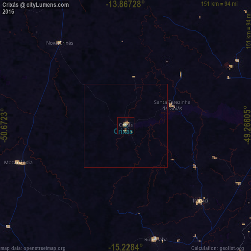
Analysis of Crixás night lights 2016
Square area 10x10 km:
 0.22%
0.22%90-99
0.65%80-89
0.87%70-79
5.19%60-69
0%50-59
1.73%40-49
2.6%30-39
1.08%20-29
1.3%10-19
0.22%0-9
86.15%Square area 50x50 km:
0.01%90-99
0.02%80-89
0.03%70-79
0.2%60-69
0%50-59
0.07%40-49
0.1%30-39
0.04%20-29
0.05%10-19
0.01%0-9
99.48%Clear (daylight) street map image can be seen on geolist.org.
Map coordinates:
13° 52' 2.2" South, 50° 40' 20.3" West
14° 32' 56" South, 49° 58' 9" West
15° 13' 42.2" South, 49° 15' 57.8" West
Some cities around Crixás sort by population:
• Uruaçu
89.2 km =55.4 mi,  88°
88°
• Ceres
93.4 km =58 mi,  154°
154°
• Rubiataba
70.7 km =43.9 mi,  165°
165°
• Itapaci
63.5 km =39.5 mi,  134°
134°
• Mozarlândia
68.3 km =42.4 mi,  251°
251°
• Uruana
110.5 km =68.7 mi,  163°
163°
• Rialma
94.7 km =58.8 mi, 154°
• Carmo do Rio Verde
93.8 km =58.3 mi, 162°
3465145 (p: 11,559)
Sources (retrieved 2019-11-25):
» Earth at Night: Flat Maps 2012, 2016