Morro do Chapéu night lights from space
Night Light of Morro do Chapéu (Bahia) from space (Brazil) Src. Average luminocity for 10x10km area is 7.3658% and for 50x50km: 0.3507%.
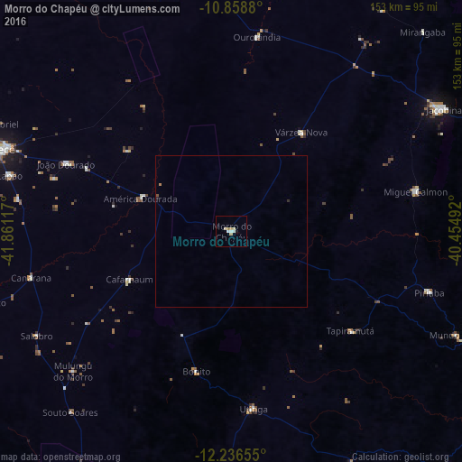
Analysis of Morro do Chapéu night lights 2016
Square area 10x10 km:
 1.52%
1.52%90-99
1.08%80-89
1.73%70-79
1.73%60-69
0.87%50-59
0%40-49
0%30-39
0%20-29
0.22%10-19
0.65%0-9
92.21%Square area 50x50 km:
0.06%90-99
0.04%80-89
0.07%70-79
0.07%60-69
0.07%50-59
0.02%40-49
0.02%30-39
0%20-29
0.08%10-19
0.03%0-9
99.57%Clear (daylight) street map image can be seen on geolist.org.
Map coordinates:
10° 51' 31.7" South, 41° 51' 40.2" West
11° 32' 54.7" South, 41° 9' 28.9" West
12° 14' 11.6" South, 40° 27' 17.7" West
Some cities around Morro do Chapéu sort by population:
• Irecê
80.8 km =50.2 mi,  289°
289°
• Tapiramutá
51.9 km =32.2 mi,  129°
129°
• Piritiba
68.7 km =42.7 mi,  107°
107°
• América Dourada
32 km =19.9 mi, 288°
• Miguel Calmon
62.8 km =39 mi,  77°
77°
• Cafarnaum
37.4 km =23.2 mi,  244°
244°
• Lapão
75.7 km =47 mi,  284°
284°
• Canarana
68.2 km =42.4 mi,  257°
257°
3456696 (p: 21,670)
Sources (retrieved 2019-11-25):
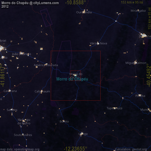
» Earth at Night: Flat Maps 2012, 2016