Tapiramutá night lights from space
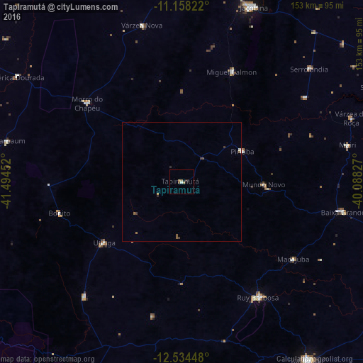
Night Light of Tapiramutá (Bahia) from space (Brazil) Src. Average luminocity for 10x10km area is 3.9587% and for 50x50km: 0.4439%.
Analysis of Tapiramutá night lights 2016
Square area 10x10 km:
 0.21%
0.21%90-99
0.62%80-89
0.41%70-79
0.41%60-69
1.45%50-59
0.21%40-49
0.83%30-39
0.21%20-29
1.45%10-19
0.83%0-9
93.39%Square area 50x50 km:
0.01%90-99
0.05%80-89
0.03%70-79
0.05%60-69
0.13%50-59
0.13%40-49
0.08%30-39
0.11%20-29
0.13%10-19
0.03%0-9
99.26%Clear (daylight) street map image can be seen on geolist.org.
Map coordinates:
11° 9' 29.6" South, 41° 29' 40.3" West
11° 50' 50" South, 40° 47' 29" West
12° 32' 4.1" South, 40° 5' 17.8" West
Some cities around Tapiramutá sort by population:
• Morro do Chapéu
51.9 km =32.2 mi,  309°
309°
• Ruy Barbosa
58.3 km =36.2 mi,  146°
146°
• Piritiba
28.8 km =17.9 mi,  63°
63°
• Miguel Calmon
51.2 km =31.8 mi,  24°
24°
• Mairi
71.5 km =44.4 mi,  77°
77°
• Mundo Novo
34.7 km =21.6 mi,  92°
92°
• Terra Nova
59.3 km =36.8 mi,  166°
166°
• Baixa Grande
69 km =42.9 mi,  100°
100°
3446866 (p: 16,544)
Sources (retrieved 2019-11-25):
» Earth at Night: Flat Maps 2012, 2016