Irecê night lights from space
Night Light of Irecê (Bahia) from space (Brazil) Src. Average luminocity for 10x10km area is 35.6688% and for 50x50km: 4.4316%.
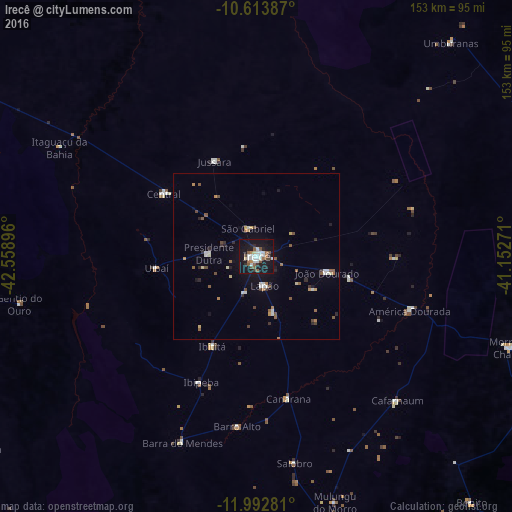
Analysis of Irecê night lights 2016
Square area 10x10 km:
 8.23%
8.23%90-99
8.01%80-89
1.52%70-79
0.87%60-69
3.25%50-59
8.01%40-49
4.33%30-39
1.95%20-29
4.98%10-19
51.52%0-9
7.36%Square area 50x50 km:
0.68%90-99
0.65%80-89
0.31%70-79
0.25%60-69
0.52%50-59
0.9%40-49
0.65%30-39
0.35%20-29
0.63%10-19
3.28%0-9
91.78%Clear (daylight) street map image can be seen on geolist.org.
Map coordinates:
10° 36' 49.9" South, 42° 33' 32.3" West
11° 18' 15" South, 41° 51' 21" West
11° 59' 34.1" South, 41° 9' 9.8" West
Some cities around Irecê sort by population:
• Morro do Chapéu
80.8 km =50.2 mi,  109°
109°
• Ibipeba
41.1 km =25.5 mi,  204°
204°
• Barro Alto
51.1 km =31.8 mi,  186°
186°
• América Dourada
48.7 km =30.3 mi, 110°
• Cafarnaum
60.5 km =37.6 mi,  135°
135°
• Lapão
9.2 km =5.7 mi,  163°
163°
• Canarana
43.4 km =27 mi,  167°
167°
• Iraquara
108.1 km =67.2 mi, 166°
3461013 (p: 63,626)
Sources (retrieved 2019-11-25):
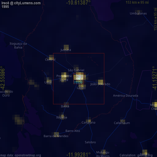
» NASA, Earths city lights 1995
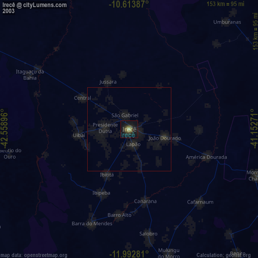
» NASA city lights 2003
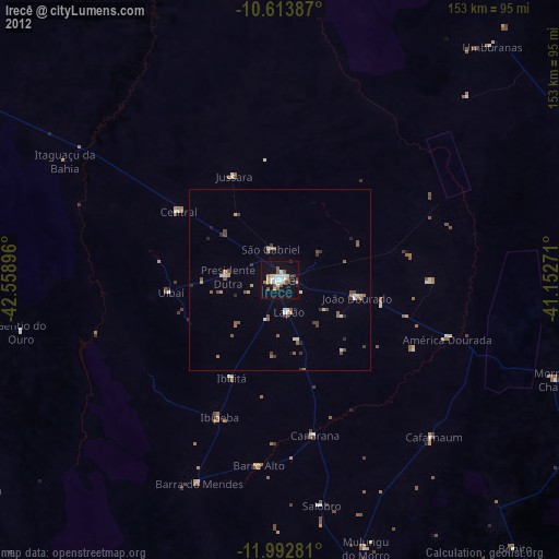
» Earth at Night: Flat Maps 2012, 2016