América Dourada night lights from space
Night Light of América Dourada (Bahia) from space (Brazil) Src. Average luminocity for 10x10km area is 4.9589% and for 50x50km: 0.9546%.
Analysis of América Dourada night lights 2016
Square area 10x10 km:
 1.08%
1.08%90-99
0.87%80-89
0.65%70-79
0%60-69
0%50-59
1.08%40-49
2.16%30-39
0.22%20-29
0%10-19
0%0-9
93.94%Square area 50x50 km:
0.1%90-99
0.18%80-89
0.08%70-79
0.01%60-69
0.13%50-59
0.19%40-49
0.21%30-39
0.18%20-29
0.26%10-19
0.12%0-9
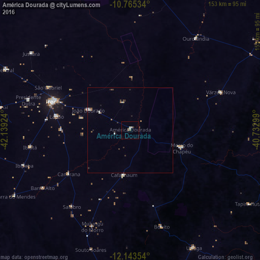
98.55%Clear (daylight) street map image can be seen on geolist.org.
Map coordinates:
10° 45' 55.2" South, 42° 8' 21.3" West
11° 27' 19" South, 41° 26' 10" West
12° 8' 36.7" South, 40° 43' 58.8" West
Some cities around América Dourada sort by population:
• Irecê
48.7 km =30.3 mi,  290°
290°
• Morro do Chapéu
32 km =19.9 mi,  108°
108°
• Tapiramutá
82.6 km =51.3 mi,  121°
121°
• Ibipeba
65.9 km =40.9 mi,  251°
251°
• Barro Alto
61.9 km =38.5 mi,  236°
236°
• Cafarnaum
26.7 km =16.6 mi,  187°
187°
• Lapão
43.9 km =27.3 mi,  280°
280°
• Canarana
44.3 km =27.5 mi,  234°
234°
3472344 (p: 14,015)
Sources (retrieved 2019-11-25):
» Earth at Night: Flat Maps 2012, 2016