Cafarnaum night lights from space
Night Light of Cafarnaum (Bahia) from space (Brazil) Src. Average luminocity for 10x10km area is 5.3017% and for 50x50km: 0.7158%.
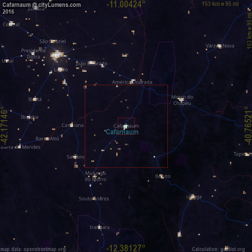
Analysis of Cafarnaum night lights 2016
Square area 10x10 km:
 1.03%
1.03%90-99
1.65%80-89
1.45%70-79
0%60-69
0%50-59
0%40-49
0.83%30-39
0.41%20-29
0.41%10-19
0%0-9
94.21%Square area 50x50 km:
0.08%90-99
0.13%80-89
0.06%70-79
0.01%60-69
0.13%50-59
0.21%40-49
0.13%30-39
0.19%20-29
0.13%10-19
0.08%0-9
98.86%Clear (daylight) street map image can be seen on geolist.org.
Map coordinates:
11° 0' 15.3" South, 42° 10' 17.3" West
11° 41' 37" South, 41° 28' 6" West
12° 22' 52.6" South, 40° 45' 54.8" West
Some cities around Cafarnaum sort by population:
• Irecê
60.5 km =37.6 mi,  315°
315°
• Morro do Chapéu
37.4 km =23.2 mi,  64°
64°
• Ibipeba
59.4 km =36.9 mi,  275°
275°
• Barro Alto
48.8 km =30.3 mi,  261°
261°
• América Dourada
26.7 km =16.6 mi,  7°
7°
• Lapão
52.5 km =32.6 mi,  311°
311°
• Canarana
32.7 km =20.3 mi,  271°
271°
• Iraquara
63.9 km =39.7 mi,  194°
194°
3468314 (p: 12,937)
Sources (retrieved 2019-11-25):
» Earth at Night: Flat Maps 2012, 2016