Monte Alto night lights from space
Night Light of Monte Alto (São Paulo) from space (Brazil) Src. Average luminocity for 10x10km area is 30.6329% and for 50x50km: 6.9635%.
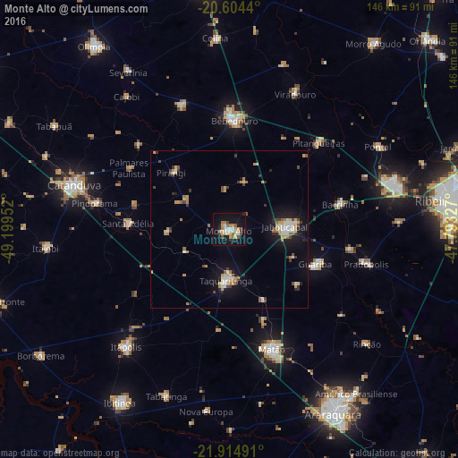
Analysis of Monte Alto night lights 2016
Square area 10x10 km:
 3.37%
3.37%90-99
4.56%80-89
5.36%70-79
5.75%60-69
4.56%50-59
4.56%40-49
2.58%30-39
1.79%20-29
1.79%10-19
34.72%0-9
30.95%Square area 50x50 km:
0.74%90-99
0.95%80-89
0.81%70-79
1.19%60-69
0.93%50-59
0.7%40-49
0.7%30-39
0.89%20-29
0.84%10-19
5.62%0-9
86.62%Clear (daylight) street map image can be seen on geolist.org.
Map coordinates:
20° 36' 15.8" South, 49° 11' 58.3" West
21° 15' 40" South, 48° 29' 47" West
21° 54' 53.7" South, 47° 47' 35.8" West
Some cities around Monte Alto sort by population:
• Matão
40.4 km =25.1 mi,  160°
160°
• Bebedouro
34.7 km =21.6 mi,  2°
2°
• Jaboticabal
18.1 km =11.2 mi,  87°
87°
• Taquaritinga
16.1 km =10 mi,  183°
183°
• Guariba
29.9 km =18.6 mi,  111°
111°
• Pitangueiras
39.9 km =24.8 mi,  45°
45°
• Barrinha
35.3 km =21.9 mi,  77°
77°
• Santa Adélia
32 km =19.9 mi,  273°
273°
3456873 (p: 41,893)
Sources (retrieved 2019-11-25):
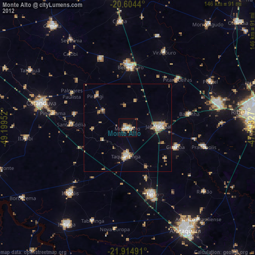
» Earth at Night: Flat Maps 2012, 2016