Guariba night lights from space
Night Light of Guariba (São Paulo) from space (Brazil) Src. Average luminocity for 10x10km area is 19.0606% and for 50x50km: 6.9028%.
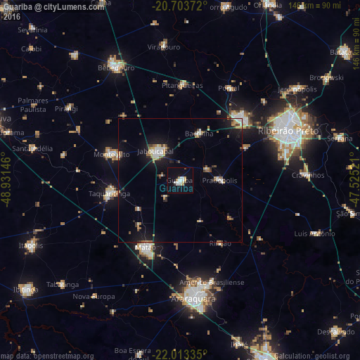

Analysis of Guariba night lights 2016
Square area 10x10 km:
 4.55%
4.55%90-99
3.79%80-89
2.08%70-79
1.7%60-69
1.52%50-59
0%40-49
0.76%30-39
1.52%20-29
0%10-19
12.5%0-9
71.59%Square area 50x50 km:
0.89%90-99
1.08%80-89
0.44%70-79
0.97%60-69
0.67%50-59
0.73%40-49
0.73%30-39
0.81%20-29
1.05%10-19
5.8%0-9
86.82%Clear (daylight) street map image can be seen on geolist.org.
Map coordinates:
20° 42' 13.4" South, 48° 55' 53.3" West
21° 21' 36" South, 48° 13' 42" West
22° 0' 48.1" South, 47° 31' 30.8" West
Some cities around Guariba sort by population:
• Sertãozinho
34.9 km =21.7 mi,  44°
44°
• Matão
30.6 km =19 mi,  207°
207°
• Jaboticabal
15.2 km =9.4 mi,  320°
320°
• Taquaritinga
29.1 km =18.1 mi,  259°
259°
• Monte Alto
29.9 km =18.6 mi,  291°
291°
• Pitangueiras
39 km =24.2 mi,  1°
1°
• Barrinha
19.7 km =12.2 mi,  19°
19°
• Pradópolis
16.9 km =10.5 mi,  89°
89°
3461824 (p: 30,464)
Sources (retrieved 2019-11-25):
» Earth at Night: Flat Maps 2012, 2016