Matão night lights from space
Night Light of Matão (São Paulo) from space (Brazil) Src. Average luminocity for 10x10km area is 43.161% and for 50x50km: 9.8824%.
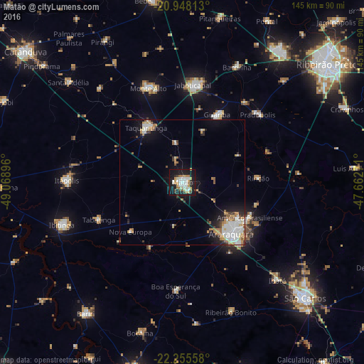
Analysis of Matão night lights 2016
Square area 10x10 km:
 8.9%
8.9%90-99
10.42%80-89
4.55%70-79
6.63%60-69
4.92%50-59
2.08%40-49
3.6%30-39
2.27%20-29
7.95%10-19
43.75%0-9
4.92%Square area 50x50 km:
2.15%90-99
1.84%80-89
0.93%70-79
1.42%60-69
1.33%50-59
0.77%40-49
0.89%30-39
0.77%20-29
1.76%10-19
6.18%0-9
81.98%Clear (daylight) street map image can be seen on geolist.org.
Map coordinates:
20° 56' 53.3" South, 49° 4' 8.3" West
21° 36' 12" South, 48° 21' 57" West
22° 15' 20.1" South, 47° 39' 45.8" West
Some cities around Matão sort by population:
• Araraquara
28.9 km =18 mi,  137°
137°
• Jaboticabal
39 km =24.2 mi,  6°
6°
• Taquaritinga
26.2 km =16.3 mi,  326°
326°
• Monte Alto
40.4 km =25.1 mi,  340°
340°
• Américo Brasiliense
30.4 km =18.9 mi,  116°
116°
• Guariba
30.6 km =19 mi,  27°
27°
• Pradópolis
41.2 km =25.6 mi,  48°
48°
• Tabatinga
35.5 km =22.1 mi,  249°
249°
3457509 (p: 72,468)
Sources (retrieved 2019-11-25):
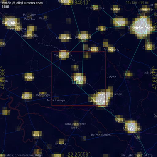
» NASA, Earths city lights 1995
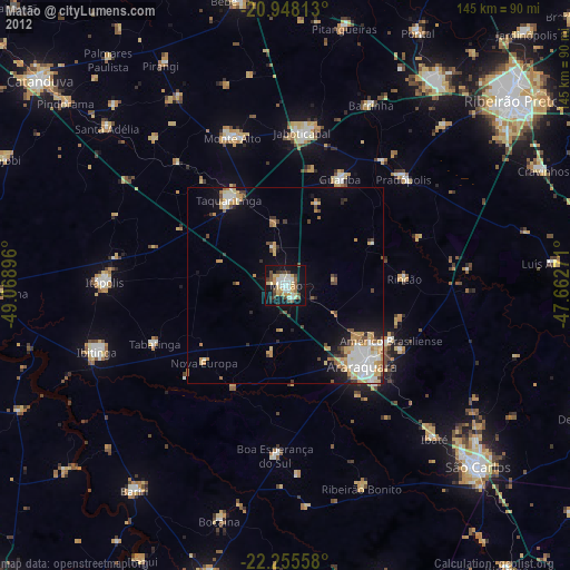
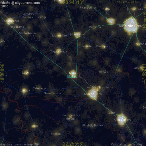
» NASA city lights 2003
» Earth at Night: Flat Maps 2012, 2016