Barrinha night lights from space
Night Light of Barrinha (São Paulo) from space (Brazil) Src. Average luminocity for 10x10km area is 11.744% and for 50x50km: 8.9583%.
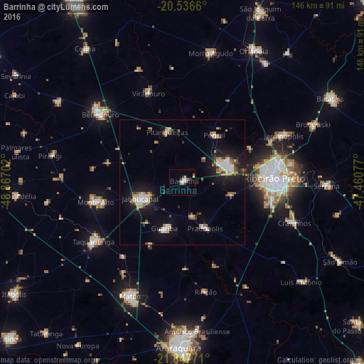
Analysis of Barrinha night lights 2016
Square area 10x10 km:
 1.79%
1.79%90-99
3.17%80-89
0.6%70-79
0.79%60-69
2.38%50-59
0%40-49
2.58%30-39
1.59%20-29
0.6%10-19
0%0-9
86.51%Square area 50x50 km:
1.35%90-99
1.38%80-89
0.76%70-79
1.14%60-69
1.04%50-59
0.8%40-49
1.12%30-39
1.17%20-29
1.49%10-19
7%0-9
82.73%Clear (daylight) street map image can be seen on geolist.org.
Map coordinates:
20° 32' 11.8" South, 48° 52' 1.3" West
21° 11' 37" South, 48° 9' 50" West
21° 50' 51.8" South, 47° 27' 38.8" West
Some cities around Barrinha sort by population:
• Ribeirão Preto
36.7 km =22.8 mi,  87°
87°
• Sertãozinho
19 km =11.8 mi,  70°
70°
• Jaboticabal
17.8 km =11.1 mi,  247°
247°
• Monte Alto
35.3 km =21.9 mi,  257°
257°
• Pontal
23.1 km =14.4 mi,  34°
34°
• Guariba
19.7 km =12.2 mi,  199°
199°
• Pitangueiras
21.3 km =13.2 mi,  343°
343°
• Pradópolis
21.1 km =13.1 mi,  151°
151°
3470428 (p: 26,981)
Sources (retrieved 2019-11-25):
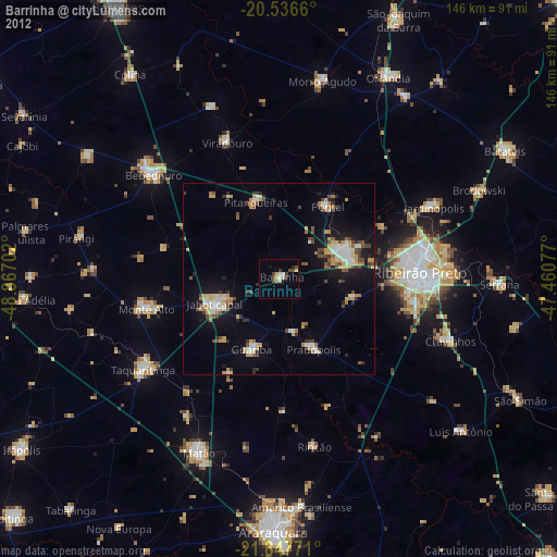
» Earth at Night: Flat Maps 2012, 2016