Pato Branco night lights from space
Night Light of Pato Branco (Paraná) from space (Brazil) Src. Average luminocity for 10x10km area is 42.5575% and for 50x50km: 3.8592%.
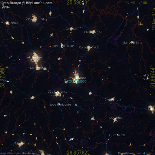
Analysis of Pato Branco night lights 2016
Square area 10x10 km:
 6.15%
6.15%90-99
5.95%80-89
7.34%70-79
9.13%60-69
8.93%50-59
4.96%40-49
2.38%30-39
3.77%20-29
5.75%10-19
32.14%0-9
13.49%Square area 50x50 km:
0.39%90-99
0.41%80-89
0.55%70-79
0.64%60-69
0.78%50-59
0.48%40-49
0.28%30-39
0.37%20-29
0.48%10-19
2.78%0-9
92.84%Clear (daylight) street map image can be seen on geolist.org.
Map coordinates:
25° 35' 46.2" South, 53° 22' 25.3" West
26° 13' 43" South, 52° 40' 14" West
26° 51' 27.4" South, 51° 58' 2.8" West
Some cities around Pato Branco sort by population:
• Francisco Beltrão
41.7 km =25.9 mi,  293°
293°
• Palmas
73.5 km =45.7 mi,  112°
112°
• Xanxerê
76.8 km =47.7 mi,  159°
159°
• Dois Vizinhos
67.3 km =41.8 mi,  324°
324°
• Coronel Vivida
29.5 km =18.3 mi,  20°
20°
• São Lourenço do Oeste
23.1 km =14.4 mi,  231°
231°
• Clevelândia
27.2 km =16.9 mi,  133°
133°
• Chopinzinho
44 km =27.3 mi, 19°
3454818 (p: 65,754)
Sources (retrieved 2019-11-25):
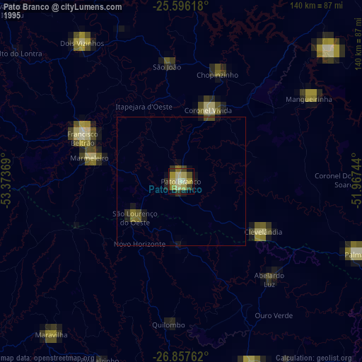
» NASA, Earths city lights 1995
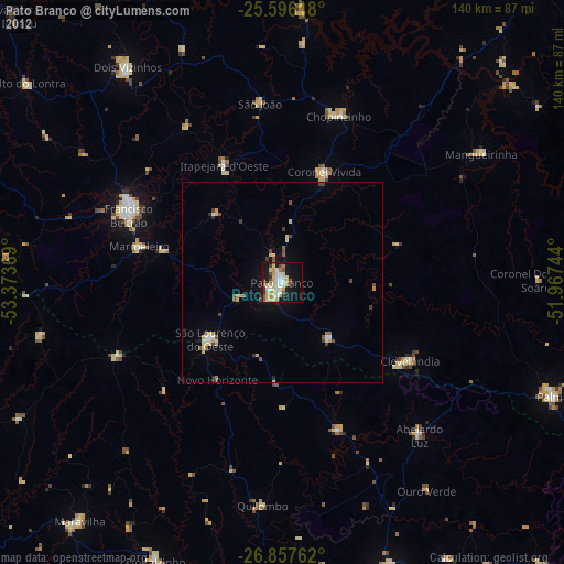
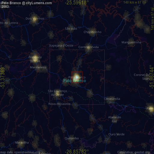
» NASA city lights 2003
» Earth at Night: Flat Maps 2012, 2016