Dois Vizinhos night lights from space
Night Light of Dois Vizinhos (Paraná) from space (Brazil) Src. Average luminocity for 10x10km area is 21.7405% and for 50x50km: 2.0155%.
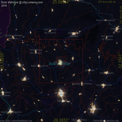
Analysis of Dois Vizinhos night lights 2016
Square area 10x10 km:
 2.27%
2.27%90-99
1.52%80-89
5.87%70-79
6.06%60-69
2.46%50-59
0.95%40-49
1.33%30-39
3.79%20-29
0%10-19
12.69%0-9
63.07%Square area 50x50 km:
0.09%90-99
0.12%80-89
0.36%70-79
0.39%60-69
0.39%50-59
0.23%40-49
0.3%30-39
0.52%20-29
0.35%10-19
0.73%0-9
96.52%Clear (daylight) street map image can be seen on geolist.org.
Map coordinates:
25° 5' 54.7" South, 53° 45' 37.3" West
25° 44' 1" South, 53° 3' 26" West
26° 21' 55.1" South, 52° 21' 14.8" West
Some cities around Dois Vizinhos sort by population:
• Pato Branco
67.3 km =41.8 mi,  144°
144°
• Francisco Beltrão
38.6 km =24 mi,  179°
179°
• Coronel Vivida
56.1 km =34.9 mi,  119°
119°
• São Lourenço do Oeste
72.5 km =45 mi,  163°
163°
• Ampére
46.2 km =28.7 mi,  244°
244°
• Chopinzinho
55.1 km =34.2 mi,  104°
104°
• Realeza
47.8 km =29.7 mi,  265°
265°
• Guaraniaçu
72.6 km =45.1 mi,  14°
14°
3464579 (p: 22,766)
Sources (retrieved 2019-11-25):
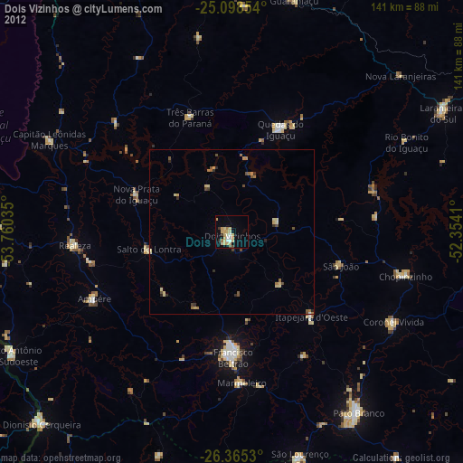
» Earth at Night: Flat Maps 2012, 2016