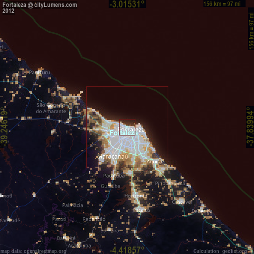
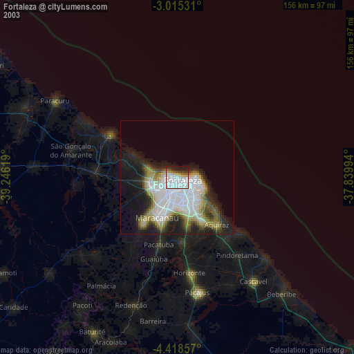
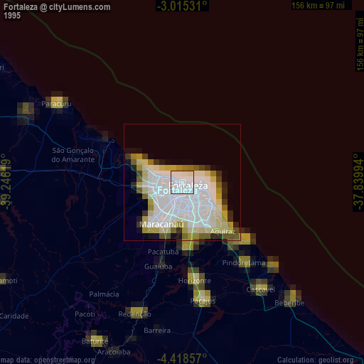
Fortaleza night lights from space
Night Light of Fortaleza (Ceará) from space (Brazil) Src. Average luminocity for 10x10km area is 76.2316% and for 50x50km: 38.7407%.

Analysis of Fortaleza night lights 2016
Square area 10x10 km:
 52.16%
90-99
11.9%80-89
0%70-79
0%60-69
2.6%50-59
4.98%40-49
3.03%30-39
6.93%20-29
14.94%10-19
3.46%0-9
0%Square area 50x50 km:
13.84%90-99
10.74%80-89
3.35%70-79
3.19%60-69
3.96%50-59
3.62%40-49
2.76%30-39
2.29%20-29
5.29%10-19
7.05%0-9
43.91%Clear (daylight) street map image can be seen on geolist.org.
Map coordinates:
3° 0' 55.1" South, 39° 14' 46.3" West
3° 43' 2" South, 38° 32' 35" West
4° 25' 6.9" South, 37° 50' 23.8" West
Some cities around Fortaleza sort by population:
• Caucaia
12.4 km =7.7 mi,  260°
260°
• Maracanaú
20 km =12.4 mi,  207°
207°
• Aquiraz
26.5 km =16.5 mi,  140°
140°
• Pacatuba
30.9 km =19.2 mi,  196°
196°
• Eusébio
21.8 km =13.5 mi,  151°
151°
• Itaitinga
28.1 km =17.5 mi,  176°
176°
• Guaiúba
37.3 km =23.2 mi, 196°
• Cambebba
33.5 km =20.8 mi,  288°
288°
3399415 (p: 2,400,000)
Sources (retrieved 2019-11-25):
» NASA, Earths city lights 1995
» NASA city lights 2003
» Earth at Night: Flat Maps 2012, 2016