Iraquara night lights from space
Night Light of Iraquara (Bahia) from space (Brazil) Src. Average luminocity for 10x10km area is 3.6033% and for 50x50km: 1.0444%.
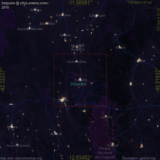
Analysis of Iraquara night lights 2016
Square area 10x10 km:
 0%
0%90-99
1.65%80-89
0%70-79
0%60-69
0%50-59
0.21%40-49
0.62%30-39
1.45%20-29
2.69%10-19
0%0-9
93.39%Square area 50x50 km:
0.09%90-99
0.17%80-89
0.04%70-79
0.03%60-69
0.12%50-59
0.32%40-49
0.28%30-39
0.12%20-29
0.42%10-19
0.07%0-9
98.34%Clear (daylight) street map image can be seen on geolist.org.
Map coordinates:
11° 33' 38.2" South, 42° 19' 21.3" West
12° 14' 55" South, 41° 37' 10" West
12° 56' 5.4" South, 40° 54' 58.8" West
Some cities around Iraquara sort by population:
• Vera Cruz
76.7 km =47.7 mi,  123°
123°
• Morro do Chapéu
92.6 km =57.5 mi,  32°
32°
• Seabra
24.9 km =15.5 mi,  221°
221°
• Ibipeba
79.9 km =49.6 mi,  327°
327°
• Barro Alto
62.9 km =39.1 mi, 329°
• América Dourada
90.4 km =56.2 mi,  12°
12°
• Cafarnaum
63.9 km =39.7 mi, 14°
• Canarana
64.8 km =40.3 mi,  345°
345°
3461023 (p: 5,131)
Sources (retrieved 2019-11-25):
» Earth at Night: Flat Maps 2012, 2016