Ibipeba night lights from space
Night Light of Ibipeba (Bahia) from space (Brazil) Src. Average luminocity for 10x10km area is 4.3896% and for 50x50km: 1.2316%.
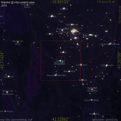
Analysis of Ibipeba night lights 2016
Square area 10x10 km:
 1.08%
1.08%90-99
0.65%80-89
0%70-79
0%60-69
0.87%50-59
0.87%40-49
0.87%30-39
0%20-29
1.73%10-19
0.87%0-9
93.07%Square area 50x50 km:
0.15%90-99
0.12%80-89
0.13%70-79
0.16%60-69
0.19%50-59
0.35%40-49
0.23%30-39
0.18%20-29
0.13%10-19
0.07%0-9
98.3%Clear (daylight) street map image can be seen on geolist.org.
Map coordinates:
10° 57' 4.8" South, 42° 42' 51.3" West
11° 38' 27" South, 42° 0' 40" West
12° 19' 43" South, 41° 18' 28.8" West
Some cities around Ibipeba sort by population:
• Irecê
41.1 km =25.5 mi,  24°
24°
• Seabra
90.2 km =56 mi,  163°
163°
• Barro Alto
17.2 km =10.7 mi,  140°
140°
• América Dourada
65.9 km =40.9 mi,  71°
71°
• Cafarnaum
59.4 km =36.9 mi,  95°
95°
• Lapão
34.7 km =21.6 mi,  34°
34°
• Canarana
26.8 km =16.7 mi, 100°
• Iraquara
79.9 km =49.6 mi,  147°
147°
3461592 (p: 14,428)
Sources (retrieved 2019-11-25):
» Earth at Night: Flat Maps 2012, 2016