Piranhas night lights from space
Night Light of Piranhas (Goiás) from space (Brazil) Src. Average luminocity for 10x10km area is 4.7624% and for 50x50km: 0.1936%.
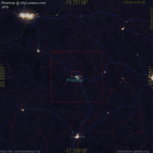
Analysis of Piranhas night lights 2016
Square area 10x10 km:
 0%
0%90-99
0%80-89
0%70-79
3.1%60-69
1.03%50-59
0%40-49
2.48%30-39
0%20-29
0.83%10-19
0%0-9
92.56%Square area 50x50 km:
0%90-99
0%80-89
0%70-79
0.12%60-69
0.04%50-59
0%40-49
0.1%30-39
0%20-29
0.03%10-19
0%0-9
99.7%Clear (daylight) street map image can be seen on geolist.org.
Map coordinates:
15° 45' 4.9" South, 52° 31' 31.3" West
16° 25' 37" South, 51° 49' 20" West
17° 6' 0.6" South, 51° 7' 8.8" West
Some cities around Piranhas sort by population:
• Barra do Garças
75.6 km =47 mi,  322°
322°
• Mineiros
148.8 km =92.5 mi,  211°
211°
• Iporá
75.1 km =46.7 mi,  91°
91°
• São Luís de Montes Belos
155 km =96.3 mi, 94°
• Aragarças
74.6 km =46.4 mi, 322°
• Caiapônia
58.9 km =36.6 mi,  178°
178°
• Paraúna
157.3 km =97.7 mi,  111°
111°
• Itapirapuã
145.5 km =90.4 mi,  62°
62°
3453586 (p: 9,886)
Sources (retrieved 2019-11-25):
» Earth at Night: Flat Maps 2012, 2016