Iguatu night lights from space
Night Light of Iguatu (Ceará) from space (Brazil) Src. Average luminocity for 10x10km area is 46.8117% and for 50x50km: 3.6025%.
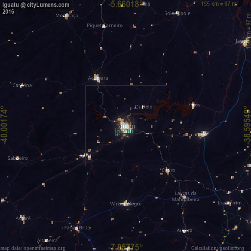
Analysis of Iguatu night lights 2016
Square area 10x10 km:
 8.87%
8.87%90-99
10.61%80-89
6.28%70-79
2.38%60-69
7.14%50-59
9.96%40-49
5.84%30-39
2.16%20-29
8.66%10-19
34.85%0-9
3.25%Square area 50x50 km:
0.4%90-99
0.61%80-89
0.25%70-79
0.22%60-69
0.55%50-59
0.7%40-49
0.56%30-39
0.42%20-29
0.86%10-19
2.93%0-9
92.49%Clear (daylight) street map image can be seen on geolist.org.
Map coordinates:
5° 39' 36.6" South, 40° 0' 6.3" West
6° 21' 34" South, 39° 17' 55" West
7° 3' 27.9" South, 38° 35' 43.8" West
Some cities around Iguatu sort by population:
• Icó
48.4 km =30.1 mi,  95°
95°
• Acopiara
33.9 km =21.1 mi,  329°
329°
• Lavras da Mangabeira
57.3 km =35.6 mi,  139°
139°
• Orós
44.4 km =27.6 mi,  73°
73°
• Jucás
31.3 km =19.4 mi,  233°
233°
• Cedro
37.9 km =23.5 mi, 136°
• Barro
62.1 km =38.6 mi,  129°
129°
• Farias Brito
70 km =43.5 mi,  204°
204°
3398331 (p: 70,380)
Sources (retrieved 2019-11-25):
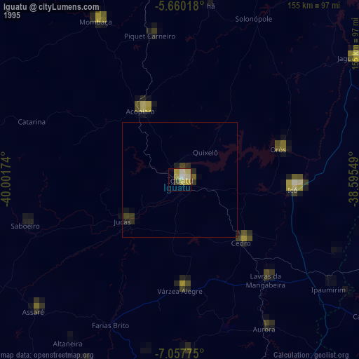
» NASA, Earths city lights 1995
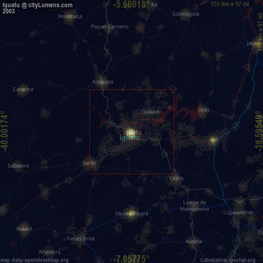
» NASA city lights 2003
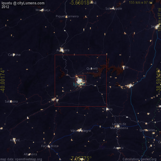
» Earth at Night: Flat Maps 2012, 2016