Lavras da Mangabeira night lights from space
Night Light of Lavras da Mangabeira (Ceará) from space (Brazil) Src. Average luminocity for 10x10km area is 6.9719% and for 50x50km: 1.2668%.
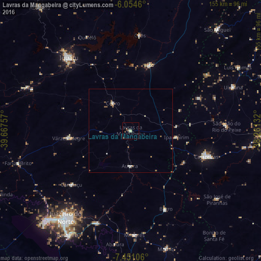
Analysis of Lavras da Mangabeira night lights 2016
Square area 10x10 km:
 0.65%
0.65%90-99
0.87%80-89
1.95%70-79
0%60-69
0.87%50-59
0.87%40-49
1.3%30-39
2.16%20-29
1.73%10-19
0%0-9
89.61%Square area 50x50 km:
0.16%90-99
0.15%80-89
0.2%70-79
0.17%60-69
0.26%50-59
0.29%40-49
0.14%30-39
0.14%20-29
0.07%10-19
0.03%0-9
98.39%Clear (daylight) street map image can be seen on geolist.org.
Map coordinates:
6° 3' 16.6" South, 39° 40' 3.3" West
6° 45' 12" South, 38° 57' 52" West
7° 27' 3.8" South, 38° 15' 40.8" West
Some cities around Lavras da Mangabeira sort by population:
• Iguatu
57.3 km =35.6 mi,  319°
319°
• Cajazeiras
47.7 km =29.6 mi,  108°
108°
• Icó
40.8 km =25.4 mi,  16°
16°
• Orós
56.9 km =35.4 mi,  5°
5°
• Cedro
19.6 km =12.2 mi,  326°
326°
• Caririaçu
47.7 km =29.6 mi,  227°
227°
• Barro
11.5 km =7.1 mi,  69°
69°
• Aurora
21 km =13 mi,  180°
180°
3396364 (p: 17,221)
Sources (retrieved 2019-11-25):
» Earth at Night: Flat Maps 2012, 2016