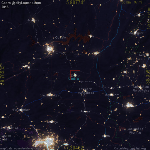
Cedro night lights from space
Night Light of Cedro (Ceará) from space (Brazil) Src. Average luminocity for 10x10km area is 8.6082% and for 50x50km: 2.2156%.
Analysis of Cedro night lights 2016
Square area 10x10 km:
 1.3%
1.3%90-99
0.43%80-89
1.73%70-79
0.87%60-69
0.87%50-59
4.33%40-49
0.87%30-39
0%20-29
0%10-19
0%0-9
89.61%Square area 50x50 km:
0.14%90-99
0.18%80-89
0.38%70-79
0.25%60-69
0.47%50-59
0.33%40-49
0.45%30-39
0.42%20-29
0.3%10-19
0.7%0-9
96.37%Clear (daylight) street map image can be seen on geolist.org.
Map coordinates:
5° 54' 27.9" South, 39° 45' 55.3" West
6° 36' 24" South, 39° 3' 44" West
7° 18' 16.6" South, 38° 21' 32.8" West
Some cities around Cedro sort by population:
• Iguatu
37.9 km =23.5 mi,  316°
316°
• Icó
31.8 km =19.8 mi,  44°
44°
• Lavras da Mangabeira
19.6 km =12.2 mi,  146°
146°
• Orós
43.5 km =27 mi,  22°
22°
• Jucás
52.2 km =32.4 mi,  279°
279°
• Caririaçu
54.2 km =33.7 mi,  206°
206°
• Barro
24.8 km =15.4 mi,  119°
119°
• Aurora
38.8 km =24.1 mi,  164°
164°
3402340 (p: 14,644)
Sources (retrieved 2019-11-25):
» Earth at Night: Flat Maps 2012, 2016