Jucás night lights from space
Night Light of Jucás (Ceará) from space (Brazil) Src. Average luminocity for 10x10km area is 14.3074% and for 50x50km: 2.3336%.
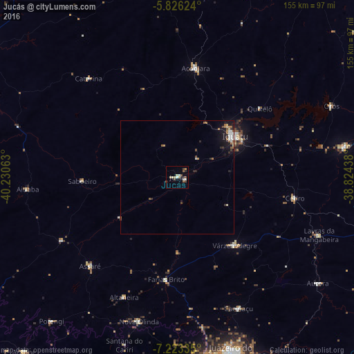
Analysis of Jucás night lights 2016
Square area 10x10 km:
 0.87%
0.87%90-99
3.46%80-89
2.6%70-79
1.73%60-69
0.87%50-59
2.6%40-49
2.6%30-39
0.87%20-29
1.73%10-19
0%0-9
82.68%Square area 50x50 km:
0.27%90-99
0.41%80-89
0.23%70-79
0.2%60-69
0.38%50-59
0.42%40-49
0.26%30-39
0.25%20-29
0.42%10-19
1.53%0-9
95.62%Clear (daylight) street map image can be seen on geolist.org.
Map coordinates:
5° 49' 34.5" South, 40° 13' 50.3" West
6° 31' 31" South, 39° 31' 39" West
7° 13' 24.1" South, 38° 49' 27.8" West
Some cities around Jucás sort by population:
• Iguatu
31.3 km =19.4 mi,  53°
53°
• Acopiara
48.5 km =30.1 mi,  9°
9°
• Lavras da Mangabeira
67.2 km =41.8 mi,  112°
112°
• Orós
74.7 km =46.4 mi,  65°
65°
• Cedro
52.2 km =32.4 mi,  99°
99°
• Caririaçu
63.5 km =39.5 mi,  154°
154°
• Assaré
54.6 km =33.9 mi,  224°
224°
• Farias Brito
45.3 km =28.1 mi,  185°
185°
3397119 (p: 14,821)
Sources (retrieved 2019-11-25):
» Earth at Night: Flat Maps 2012, 2016