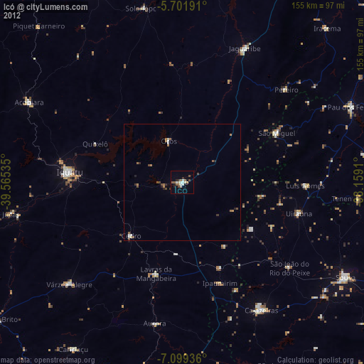
Icó night lights from space
Night Light of Icó (Ceará) from space (Brazil) Src. Average luminocity for 10x10km area is 17.5628% and for 50x50km: 1.7285%.
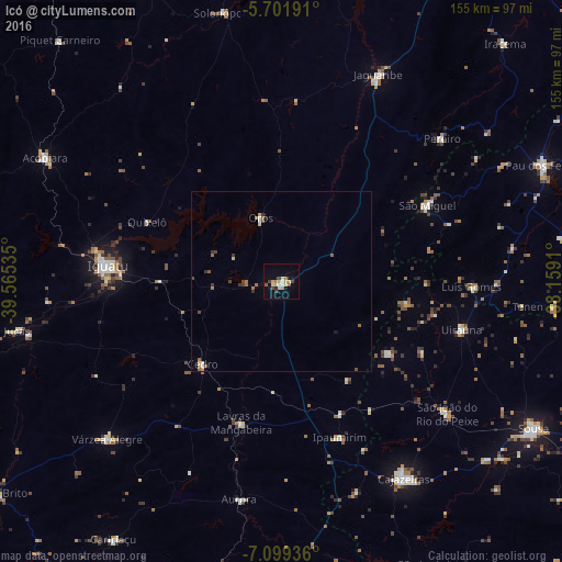
Analysis of Icó night lights 2016
Square area 10x10 km:
 1.52%
1.52%90-99
1.95%80-89
4.55%70-79
2.38%60-69
2.6%50-59
0.87%40-49
1.95%30-39
3.25%20-29
0.87%10-19
5.19%0-9
74.89%Square area 50x50 km:
0.16%90-99
0.11%80-89
0.34%70-79
0.15%60-69
0.32%50-59
0.3%40-49
0.33%30-39
0.38%20-29
0.06%10-19
0.27%0-9
97.58%Clear (daylight) street map image can be seen on geolist.org.
Map coordinates:
5° 42' 6.9" South, 39° 33' 55.3" West
6° 24' 4" South, 38° 51' 44" West
7° 5' 57.7" South, 38° 9' 32.8" West
Some cities around Icó sort by population:
• Iguatu
48.4 km =30.1 mi,  275°
275°
• Jaguaribe
62.7 km =39 mi,  25°
25°
• Lavras da Mangabeira
40.8 km =25.4 mi,  196°
196°
• Orós
18.3 km =11.4 mi,  341°
341°
• Cedro
31.8 km =19.8 mi,  224°
224°
• Barro
35.1 km =21.8 mi,  180°
180°
• Aurora
61.3 km =38.1 mi,  190°
190°
• Uiraúna
51.4 km =31.9 mi,  104°
104°
3398379 (p: 28,323)
Sources (retrieved 2019-11-25):
» Earth at Night: Flat Maps 2012, 2016