Guaratinguetá night lights from space
Night Light of Guaratinguetá (São Paulo) from space (Brazil) Src. Average luminocity for 10x10km area is 58.9583% and for 50x50km: 10.4548%.
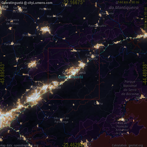
Analysis of Guaratinguetá night lights 2016
Square area 10x10 km:
 13.29%
90-99
15.48%80-89
6.15%70-79
7.94%60-69
7.94%50-59
7.94%40-49
7.74%30-39
4.56%20-29
12.9%10-19
12.9%0-9
3.17%Square area 50x50 km:
1.05%90-99
1.39%80-89
1.13%70-79
1.66%60-69
1.65%50-59
1.63%40-49
1.28%30-39
1.58%20-29
3.13%10-19
8.71%0-9
76.79%Clear (daylight) street map image can be seen on geolist.org.
Map coordinates:
22° 10' 0.3" South, 45° 53' 44.3" West
22° 48' 59" South, 45° 11' 33" West
23° 27' 46.6" South, 44° 29' 21.8" West
Some cities around Guaratinguetá sort by population:
• Pindamonhangaba
30.1 km =18.7 mi,  246°
246°
• Lorena
11.8 km =7.3 mi,  36°
36°
• Cruzeiro
35.3 km =21.9 mi, 40°
• Campos do Jordão
41.8 km =26 mi,  281°
281°
• Aparecida
5.1 km =3.2 mi,  228°
228°
• Tremembé
39.8 km =24.7 mi, 246°
• Piquete
22.6 km =14 mi,  4°
4°
• Cunha
37.3 km =23.2 mi,  140°
140°
3461859 (p: 105,880)
Sources (retrieved 2019-11-25):
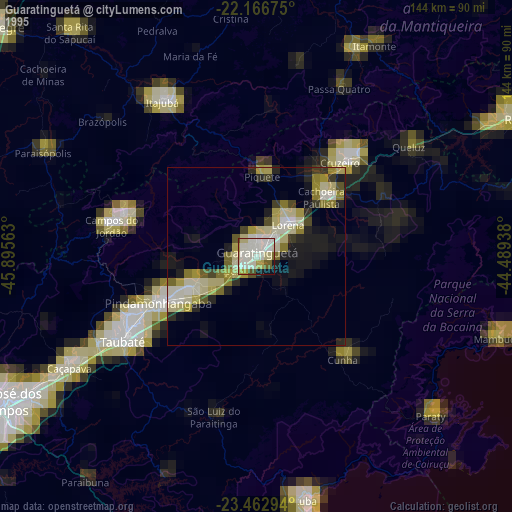
» NASA, Earths city lights 1995
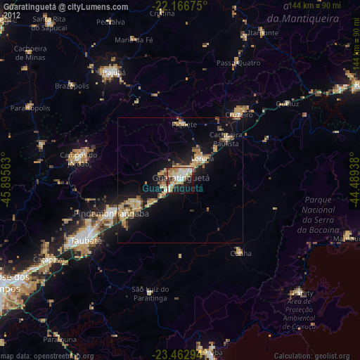
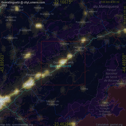
» NASA city lights 2003
» Earth at Night: Flat Maps 2012, 2016