Cruzeiro night lights from space
Night Light of Cruzeiro (São Paulo) from space (Brazil) Src. Average luminocity for 10x10km area is 24.5152% and for 50x50km: 5.8979%.
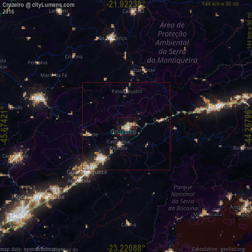

Analysis of Cruzeiro night lights 2016
Square area 10x10 km:
 1.33%
1.33%90-99
3.22%80-89
3.98%70-79
5.3%60-69
7.77%50-59
0%40-49
2.27%30-39
0.76%20-29
1.89%10-19
27.27%0-9
46.21%Square area 50x50 km:
0.57%90-99
0.73%80-89
0.79%70-79
1.05%60-69
1.14%50-59
0.78%40-49
0.56%30-39
0.6%20-29
1.33%10-19
3.55%0-9
88.89%Clear (daylight) street map image can be seen on geolist.org.
Map coordinates:
21° 55' 20.6" South, 45° 40' 27.2" West
22° 34' 23.4" South, 44° 58' 15.9" West
23° 13' 15.2" South, 44° 16' 4.7" West
Some cities around Cruzeiro sort by population:
• Guaratinguetá
35.3 km =21.9 mi,  220°
220°
• Lorena
23.6 km =14.7 mi, 221°
• São Lourenço
51.5 km =32 mi,  350°
350°
• Aparecida
40.4 km =25.1 mi, 221°
• Piquete
21.5 km =13.4 mi,  257°
257°
• Passa Quatro
20.3 km =12.6 mi,  1°
1°
• Itatiaia
42.7 km =26.5 mi,  78°
78°
• Itanhandu
31.1 km =19.3 mi,  6°
6°
3465090 (p: 72,022)
Sources (retrieved 2019-11-25):
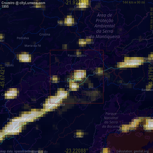
» NASA, Earths city lights 1995
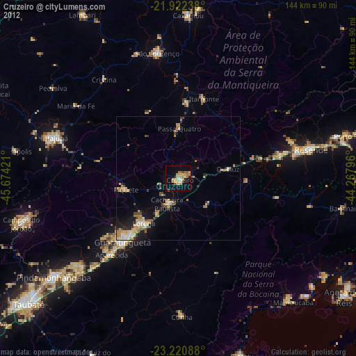
» NASA city lights 2003
» Earth at Night: Flat Maps 2012, 2016