Tremembé night lights from space
Night Light of Tremembé (São Paulo) from space (Brazil) Src. Average luminocity for 10x10km area is 46.2579% and for 50x50km: 18.2042%.
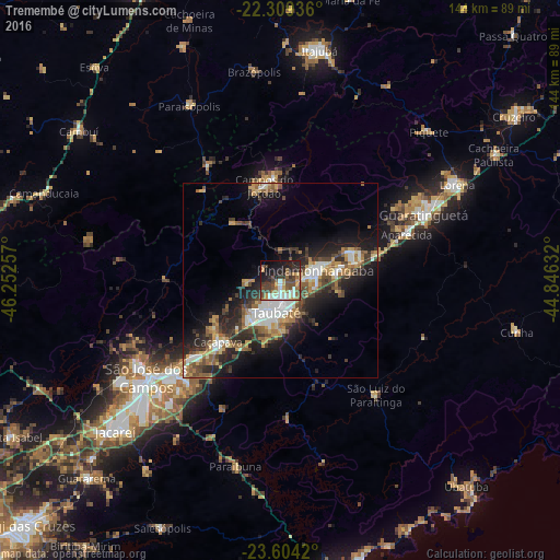
Analysis of Tremembé night lights 2016
Square area 10x10 km:
 6.35%
6.35%90-99
7.94%80-89
3.17%70-79
7.14%60-69
6.75%50-59
8.73%40-49
12.9%30-39
9.33%20-29
13.89%10-19
18.45%0-9
5.36%Square area 50x50 km:
2.6%90-99
2.71%80-89
1.83%70-79
2.36%60-69
2.92%50-59
2.95%40-49
3.14%30-39
3.34%20-29
6.02%10-19
9.91%0-9
62.22%Clear (daylight) street map image can be seen on geolist.org.
Map coordinates:
22° 18' 33.7" South, 46° 15' 9.3" West
22° 57' 30" South, 45° 32' 58" West
23° 36' 15.1" South, 44° 50' 46.8" West
Some cities around Tremembé sort by population:
• São José dos Campos
42.4 km =26.3 mi,  234°
234°
• Taubaté
7.6 km =4.7 mi,  184°
184°
• Pindamonhangaba
9.8 km =6.1 mi,  66°
66°
• Guaratinguetá
39.8 km =24.7 mi, 66°
• Lorena
50.3 km =31.3 mi,  59°
59°
• Caçapava
22.6 km =14 mi, 225°
• Campos do Jordão
24.7 km =15.3 mi,  349°
349°
• Aparecida
35 km =21.7 mi, 69°
3446194 (p: 31,719)
Sources (retrieved 2019-11-25):
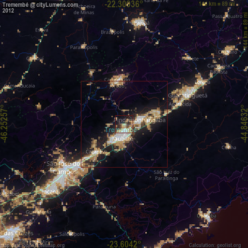
» Earth at Night: Flat Maps 2012, 2016