Pomerode night lights from space
Night Light of Pomerode (Santa Catarina) from space (Brazil) Src. Average luminocity for 10x10km area is 24.8829% and for 50x50km: 15.4624%.
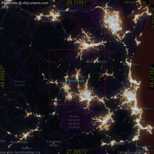
Analysis of Pomerode night lights 2016
Square area 10x10 km:
 1.98%
1.98%90-99
1.79%80-89
1.79%70-79
3.77%60-69
3.97%50-59
7.54%40-49
3.37%30-39
3.17%20-29
2.18%10-19
40.87%0-9
29.56%Square area 50x50 km:
1.26%90-99
1.86%80-89
1.04%70-79
1.99%60-69
3.04%50-59
3.49%40-49
2.21%30-39
3.09%20-29
4.87%10-19
12.59%0-9
64.56%Clear (daylight) street map image can be seen on geolist.org.
Map coordinates:
26° 6' 39.3" South, 49° 52' 48.3" West
26° 44' 26" South, 49° 10' 37" West
27° 22' 0.3" South, 48° 28' 25.8" West
Some cities around Pomerode sort by population:
• Blumenau
22.7 km =14.1 mi,  151°
151°
• Jaraguá do Sul
30.3 km =18.8 mi,  21°
21°
• Indaial
18.3 km =11.4 mi,  197°
197°
• Timbó
13.2 km =8.2 mi,  225°
225°
• Gaspar
30.3 km =18.8 mi,  134°
134°
• Guaramirim
34.4 km =21.4 mi,  30°
30°
• Corupá
35.7 km =22.2 mi,  349°
349°
• Residencia Moacir PU5BHV
26.5 km =16.5 mi,  224°
224°
3453245 (p: 21,898)
Sources (retrieved 2019-11-25):
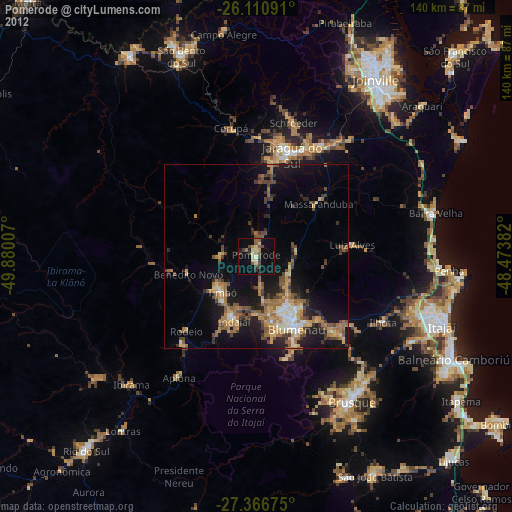
» Earth at Night: Flat Maps 2012, 2016