Frutal night lights from space
Night Light of Frutal (Minas Gerais) from space (Brazil) Src. Average luminocity for 10x10km area is 24.9544% and for 50x50km: 1.6912%.
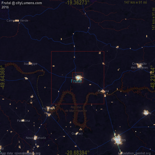
Analysis of Frutal night lights 2016
Square area 10x10 km:
 2.18%
2.18%90-99
3.97%80-89
3.57%70-79
6.55%60-69
4.37%50-59
2.18%40-49
2.58%30-39
1.59%20-29
0%10-19
21.83%0-9
51.19%Square area 50x50 km:
0.09%90-99
0.16%80-89
0.16%70-79
0.55%60-69
0.4%50-59
0.15%40-49
0.23%30-39
0.13%20-29
0%10-19
0.98%0-9
97.15%Clear (daylight) street map image can be seen on geolist.org.
Map coordinates:
19° 21' 45.8" South, 49° 38' 37.3" West
20° 1' 29" South, 48° 56' 26" West
20° 41' 2.2" South, 48° 14' 14.8" West
Some cities around Frutal sort by population:
• Barretos
70.8 km =44 mi,  146°
146°
• Olímpia
79.3 km =49.3 mi,  178°
178°
• Guaíra
73.4 km =45.6 mi,  116°
116°
• Prata
79.8 km =49.6 mi,  1°
1°
• Conceição das Alagoas
59 km =36.7 mi,  78°
78°
• Nova Granada
68.7 km =42.7 mi,  214°
214°
• Campina Verde
78.8 km =49 mi,  313°
313°
• Riolândia
77.6 km =48.2 mi,  273°
273°
3462916 (p: 40,931)
Sources (retrieved 2019-11-25):
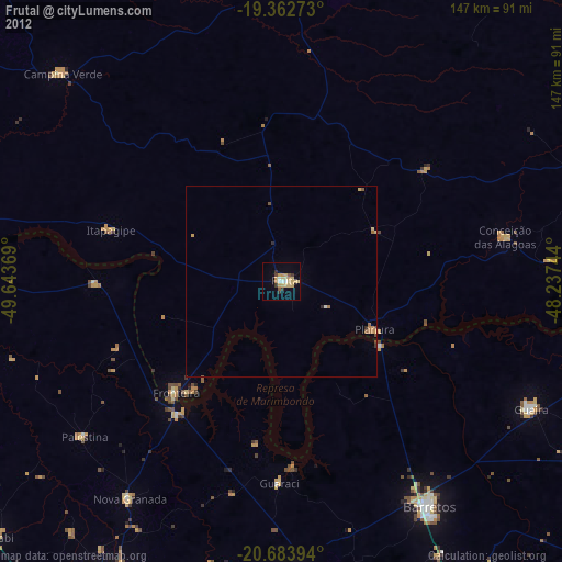
» Earth at Night: Flat Maps 2012, 2016