Olímpia night lights from space
Night Light of Olímpia (São Paulo) from space (Brazil) Src. Average luminocity for 10x10km area is 28.3826% and for 50x50km: 2.155%.
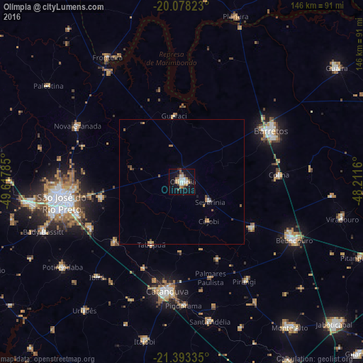
Analysis of Olímpia night lights 2016
Square area 10x10 km:
 6.25%
6.25%90-99
4.36%80-89
2.65%70-79
4.92%60-69
1.89%50-59
3.03%40-49
3.22%30-39
2.46%20-29
1.52%10-19
31.06%0-9
38.64%Square area 50x50 km:
0.32%90-99
0.22%80-89
0.14%70-79
0.43%60-69
0.25%50-59
0.34%40-49
0.26%30-39
0.23%20-29
0.25%10-19
1.4%0-9
96.15%Clear (daylight) street map image can be seen on geolist.org.
Map coordinates:
20° 4' 41.6" South, 49° 37' 4.3" West
20° 44' 14" South, 48° 54' 53" West
21° 23' 36.1" South, 48° 12' 41.8" West
Some cities around Olímpia sort by population:
• São José do Rio Preto
49.2 km =30.6 mi,  259°
259°
• Catanduva
44.9 km =27.9 mi,  187°
187°
• Barretos
41.3 km =25.7 mi,  60°
60°
• Monte Azul Paulista
34.1 km =21.2 mi,  123°
123°
• Nova Granada
47.3 km =29.4 mi,  298°
298°
• Guapiaçu
32.4 km =20.1 mi, 258°
• Severínia
14.1 km =8.8 mi, 124°
• Pindorama
49.9 km =31 mi,  179°
179°
3455923 (p: 45,199)
Sources (retrieved 2019-11-25):
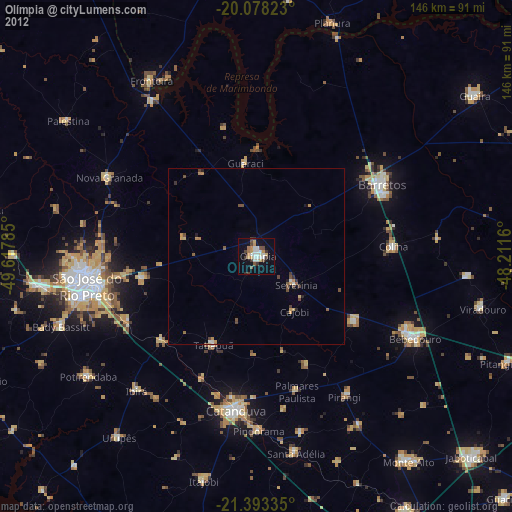
» Earth at Night: Flat Maps 2012, 2016