Guaíra night lights from space
Night Light of Guaíra (São Paulo) from space (Brazil) Src. Average luminocity for 10x10km area is 19.5985% and for 50x50km: 1.4009%.
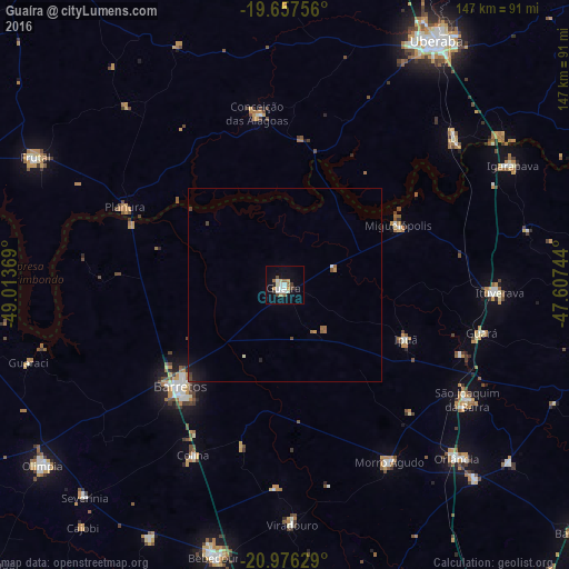
Analysis of Guaíra night lights 2016
Square area 10x10 km:
 3.79%
3.79%90-99
4.36%80-89
0.95%70-79
2.27%60-69
2.27%50-59
1.89%40-49
2.46%30-39
1.7%20-29
0.76%10-19
10.42%0-9
69.13%Square area 50x50 km:
0.19%90-99
0.22%80-89
0.04%70-79
0.17%60-69
0.22%50-59
0.21%40-49
0.24%30-39
0.14%20-29
0.12%10-19
0.86%0-9
97.6%Clear (daylight) street map image can be seen on geolist.org.
Map coordinates:
19° 39' 27.2" South, 49° 0' 49.3" West
20° 19' 6" South, 48° 18' 38" West
20° 58' 34.6" South, 47° 36' 26.8" West
Some cities around Guaíra sort by population:
• Barretos
37.7 km =23.4 mi,  225°
225°
• São Joaquim da Barra
55.8 km =34.7 mi,  121°
121°
• Ituverava
55.3 km =34.4 mi,  92°
92°
• Morro Agudo
52.9 km =32.9 mi,  150°
150°
• Guará
52.2 km =32.4 mi,  103°
103°
• Miguelópolis
32.9 km =20.4 mi,  62°
62°
• Conceição das Alagoas
45.6 km =28.3 mi,  349°
349°
• Ipuã
33.8 km =21 mi,  113°
113°
3461995 (p: 34,092)
Sources (retrieved 2019-11-25):
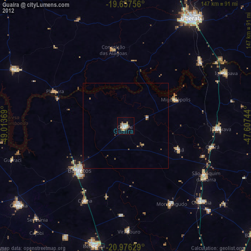
» Earth at Night: Flat Maps 2012, 2016