Franco da Rocha night lights from space
Night Light of Franco da Rocha (São Paulo) from space (Brazil) Src. Average luminocity for 10x10km area is 70.6686% and for 50x50km: 60.9099%.
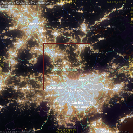

Analysis of Franco da Rocha night lights 2016
Square area 10x10 km:
 7.2%
7.2%90-99
15.53%80-89
7.01%70-79
14.58%60-69
25.76%50-59
19.13%40-49
9.47%30-39
0.95%20-29
0.38%10-19
0%0-9
0%Square area 50x50 km:
19.22%90-99
8.94%80-89
5.26%70-79
8.87%60-69
11.04%50-59
9.95%40-49
8.16%30-39
6.25%20-29
8.48%10-19
9.17%0-9
4.65%Clear (daylight) street map image can be seen on geolist.org.
Map coordinates:
22° 40' 28" South, 47° 25' 48.3" West
23° 19' 18" South, 46° 43' 37" West
23° 57' 56.8" South, 46° 1' 25.8" West
Some cities around Franco da Rocha sort by population:
• Osasco
24.4 km =15.2 mi,  195°
195°
• Jundiaí
22 km =13.7 mi,  313°
313°
• Várzea Paulista
16.1 km =10 mi,  319°
319°
• Santana de Parnaíba
23.8 km =14.8 mi,  235°
235°
• Caieiras
4.9 km =3 mi, 196°
• Cajamar
15.8 km =9.8 mi,  255°
255°
• Mairiporã
14.3 km =8.9 mi,  88°
88°
• Jarinu
24.5 km =15.2 mi,  359°
359°
3462964 (p: 108,858)
Sources (retrieved 2019-11-25):
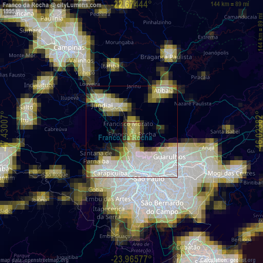
» NASA, Earths city lights 1995
» NASA city lights 2003
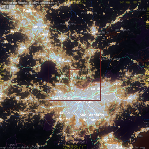
» Earth at Night: Flat Maps 2012, 2016