Osasco night lights from space
Night Light of Osasco (São Paulo) from space (Brazil) Src. Average luminocity for 10x10km area is 99.6409% and for 50x50km: 72.8197%.
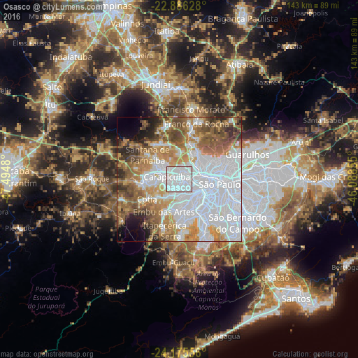
Analysis of Osasco night lights 2016
Square area 10x10 km:
 85.71%
90-99
13.89%80-89
0.4%70-79
0%60-69
0%50-59
0%40-49
0%30-39
0%20-29
0%10-19
0%0-9
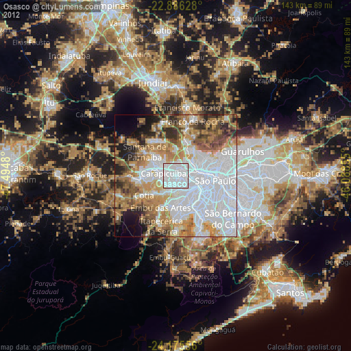
0%Square area 50x50 km:
34.84%90-99
10.08%80-89
5.08%70-79
9.16%60-69
9.88%50-59
9.16%40-49
6.47%30-39
3.6%20-29
3.83%10-19
3.13%0-9
4.78%Clear (daylight) street map image can be seen on geolist.org.
Map coordinates:
22° 53' 10.6" South, 47° 29' 41.3" West
23° 31' 57" South, 46° 47' 30" West
24° 10' 32" South, 46° 5' 18.8" West
Some cities around Osasco sort by population:
• Carapicuíba
4.5 km =2.8 mi,  283°
283°
• Barueri
8.9 km =5.5 mi,  285°
285°
• Embu
14.3 km =8.9 mi,  205°
205°
• Taboão da Serra
10.4 km =6.5 mi,  180°
180°
• Itapevi
14.6 km =9.1 mi,  262°
262°
• Jandira
11.3 km =7 mi,  272°
272°
• Jardim Paulista
13.5 km =8.4 mi,  106°
106°
• Paraíso
15.1 km =9.4 mi, 108°
3455775 (p: 677,856)
Sources (retrieved 2019-11-25):
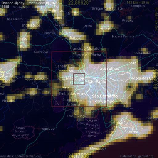
» NASA, Earths city lights 1995
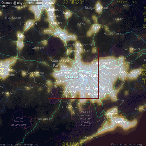
» NASA city lights 2003
» Earth at Night: Flat Maps 2012, 2016