Mairiporã night lights from space
Night Light of Mairiporã (São Paulo) from space (Brazil) Src. Average luminocity for 10x10km area is 44.1269% and for 50x50km: 54.643%.
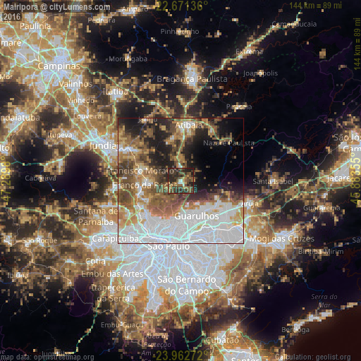
Analysis of Mairiporã night lights 2016
Square area 10x10 km:
 2.08%
2.08%90-99
1.7%80-89
2.65%70-79
7.01%60-69
5.3%50-59
16.29%40-49
14.77%30-39
20.45%20-29
24.81%10-19
4.92%0-9
0%Square area 50x50 km:
19.54%90-99
8.15%80-89
4.5%70-79
6.18%60-69
7.69%50-59
8.86%40-49
7.76%30-39
5.5%20-29
7.71%10-19
9.59%0-9
14.54%Clear (daylight) street map image can be seen on geolist.org.
Map coordinates:
22° 40' 16.9" South, 47° 17' 23.3" West
23° 19' 7" South, 46° 35' 12" West
23° 57' 45.8" South, 45° 53' 0.8" West
Some cities around Mairiporã sort by population:
• São Paulo
25.9 km =16.1 mi,  191°
191°
• Guarulhos
16.9 km =10.5 mi,  161°
161°
• Francisco Morato
16.7 km =10.4 mi,  284°
284°
• Atibaia
22.7 km =14.1 mi,  9°
9°
• Várzea Paulista
27.4 km =17 mi,  295°
295°
• Franco da Rocha
14.3 km =8.9 mi,  268°
268°
• Caieiras
16.5 km =10.3 mi,  252°
252°
• Bom Jesus dos Perdões
23.9 km =14.9 mi,  31°
31°
3458131 (p: 54,415)
Sources (retrieved 2019-11-25):
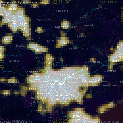
» NASA, Earths city lights 1995
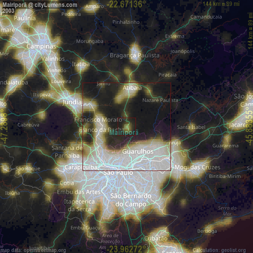
» NASA city lights 2003
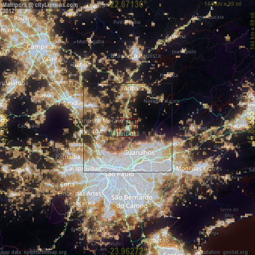
» Earth at Night: Flat Maps 2012, 2016