Curvelo night lights from space
Night Light of Curvelo (Minas Gerais) from space (Brazil) Src. Average luminocity for 10x10km area is 38.75% and for 50x50km: 2.1429%.
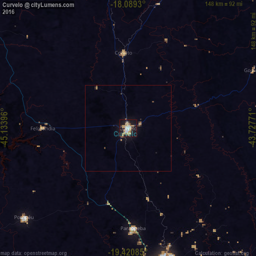
Analysis of Curvelo night lights 2016
Square area 10x10 km:
 5.79%
5.79%90-99
4.96%80-89
4.13%70-79
15.08%60-69
2.69%50-59
1.24%40-49
3.31%30-39
3.93%20-29
5.99%10-19
43.6%0-9
9.3%Square area 50x50 km:
0.23%90-99
0.19%80-89
0.16%70-79
0.76%60-69
0.15%50-59
0.08%40-49
0.29%30-39
0.19%20-29
0.41%10-19
2.29%0-9
95.24%Clear (daylight) street map image can be seen on geolist.org.
Map coordinates:
18° 5' 21.5" South, 45° 8' 2.3" West
18° 45' 23" South, 44° 25' 51" West
19° 25' 15.1" South, 43° 43' 39.8" West
Some cities around Curvelo sort by population:
• Sete Lagoas
81.2 km =50.5 mi,  166°
166°
• Pedro Leopoldo
104.1 km =64.7 mi,  156°
156°
• Diamantina
104 km =64.6 mi,  57°
57°
• Matozinhos
96.4 km =59.9 mi, 157°
• Pompéu
74.3 km =46.2 mi,  225°
225°
• Corinto
41.8 km =26 mi,  356°
356°
• Papagaios
83.9 km =52.1 mi,  203°
203°
• Martinho Campos
106.2 km =66 mi, 232°
3464891 (p: 63,954)
Sources (retrieved 2019-11-25):
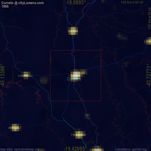
» NASA, Earths city lights 1995
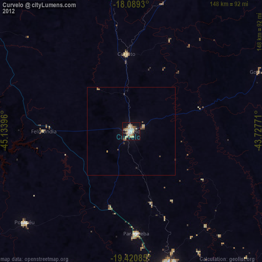
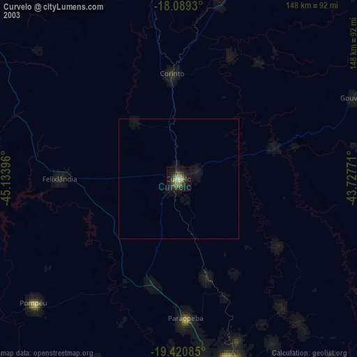
» NASA city lights 2003
» Earth at Night: Flat Maps 2012, 2016