Matozinhos night lights from space
Night Light of Matozinhos (Minas Gerais) from space (Brazil) Src. Average luminocity for 10x10km area is 44.8822% and for 50x50km: 26.7196%.
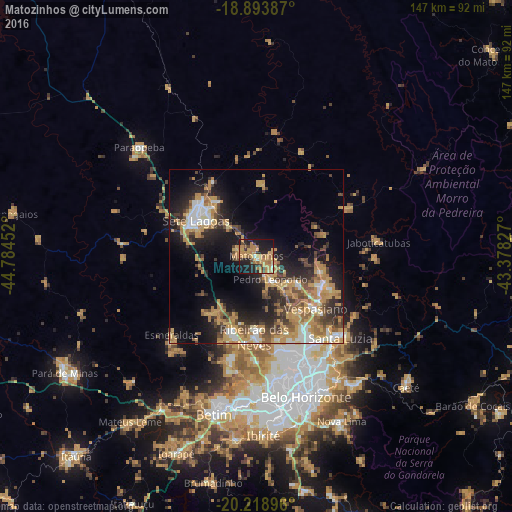
Analysis of Matozinhos night lights 2016
Square area 10x10 km:
 1.24%
1.24%90-99
1.24%80-89
3.93%70-79
22.52%60-69
13.84%50-59
3.72%40-49
5.17%30-39
3.72%20-29
16.12%10-19
25.83%0-9
2.69%Square area 50x50 km:
2.49%90-99
3.23%80-89
2.26%70-79
8.62%60-69
4.91%50-59
3.15%40-49
4.29%30-39
3.52%20-29
7.33%10-19
13.13%0-9
47.08%Clear (daylight) street map image can be seen on geolist.org.
Map coordinates:
18° 53' 37.9" South, 44° 47' 4.3" West
19° 33' 28" South, 44° 4' 53" West
20° 13' 8.3" South, 43° 22' 41.8" West
Some cities around Matozinhos sort by population:
• Contagem
41.7 km =25.9 mi,  175°
175°
• Ribeirão das Neves
23.3 km =14.5 mi, 181°
• Santa Luzia
33.7 km =20.9 mi,  134°
134°
• Sete Lagoas
20.1 km =12.5 mi,  300°
300°
• Esmeraldas
33.3 km =20.7 mi,  226°
226°
• Vespasiano
22.3 km =13.9 mi, 132°
• Pedro Leopoldo
7.8 km =4.8 mi,  149°
149°
• Lagoa Santa
20.5 km =12.7 mi,  113°
113°
3457393 (p: 30,843)
Sources (retrieved 2019-11-25):
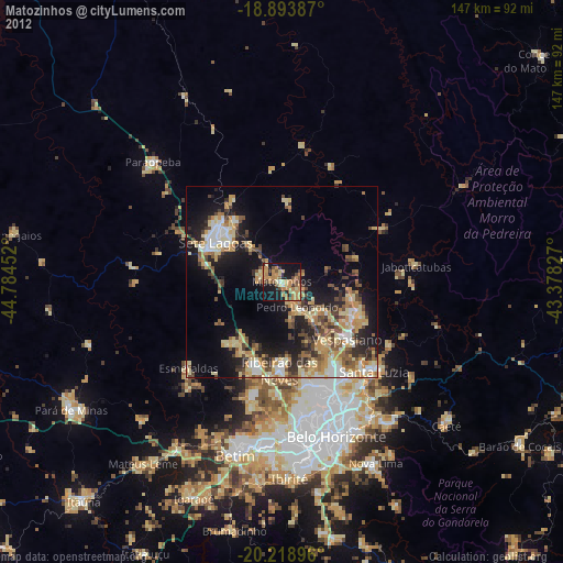
» Earth at Night: Flat Maps 2012, 2016