Corinto night lights from space
Night Light of Corinto (Minas Gerais) from space (Brazil) Src. Average luminocity for 10x10km area is 11.2727% and for 50x50km: 0.7525%.
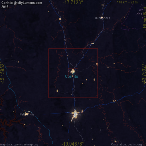
Analysis of Corinto night lights 2016
Square area 10x10 km:
 0%
0%90-99
0%80-89
2.69%70-79
4.55%60-69
1.86%50-59
1.65%40-49
2.48%30-39
0.41%20-29
1.24%10-19
0%0-9
85.12%Square area 50x50 km:
0%90-99
0%80-89
0.11%70-79
0.3%60-69
0.15%50-59
0.12%40-49
0.19%30-39
0.09%20-29
0.14%10-19
0.03%0-9
98.86%Clear (daylight) street map image can be seen on geolist.org.
Map coordinates:
17° 42' 44.3" South, 45° 9' 34.3" West
18° 22' 51" South, 44° 27' 23" West
19° 2' 48.4" South, 43° 45' 11.8" West
Some cities around Corinto sort by population:
• Sete Lagoas
122.6 km =76.2 mi,  169°
169°
• Curvelo
41.8 km =26 mi,  176°
176°
• Pirapora
126.1 km =78.4 mi,  335°
335°
• Diamantina
91.3 km =56.7 mi,  80°
80°
• Várzea da Palma
91.9 km =57.1 mi, 341°
• Pompéu
106.5 km =66.2 mi,  208°
208°
• Serro
116.3 km =72.3 mi,  102°
102°
• Papagaios
122.7 km =76.2 mi,  194°
194°
3465512 (p: 22,121)
Sources (retrieved 2019-11-25):
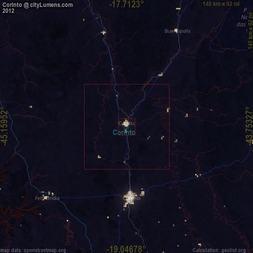
» Earth at Night: Flat Maps 2012, 2016