Itanhandu night lights from space
Night Light of Itanhandu (Minas Gerais) from space (Brazil) Src. Average luminocity for 10x10km area is 7.1345% and for 50x50km: 2.2671%.
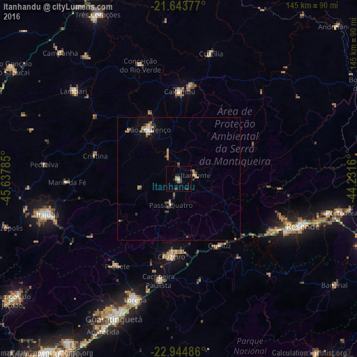
Analysis of Itanhandu night lights 2016
Square area 10x10 km:
 0.38%
0.38%90-99
0.38%80-89
0%70-79
1.52%60-69
1.52%50-59
0.38%40-49
0.76%30-39
2.84%20-29
1.33%10-19
3.03%0-9
87.88%Square area 50x50 km:
0.17%90-99
0.19%80-89
0.24%70-79
0.52%60-69
0.49%50-59
0.21%40-49
0.33%30-39
0.34%20-29
0.24%10-19
0.86%0-9
96.42%Clear (daylight) street map image can be seen on geolist.org.
Map coordinates:
21° 38' 37.6" South, 45° 38' 16.3" West
22° 17' 45" South, 44° 56' 5" West
22° 56' 41.5" South, 44° 13' 53.8" West
Some cities around Itanhandu sort by population:
• Cruzeiro
31.1 km =19.3 mi,  186°
186°
• São Lourenço
23.5 km =14.6 mi,  328°
328°
• Caxambu
35.4 km =22 mi,  0°
0°
• Piquete
43.2 km =26.8 mi,  215°
215°
• Baependi
37.7 km =23.4 mi,  7°
7°
• Passa Quatro
11 km =6.8 mi,  197°
197°
• Itatiaia
44.2 km =27.5 mi,  120°
120°
• Conceição do Rio Verde
48.7 km =30.3 mi,  341°
341°
3460788 (p: 11,274)
Sources (retrieved 2019-11-25):
» Earth at Night: Flat Maps 2012, 2016