São Lourenço night lights from space
Night Light of São Lourenço (Minas Gerais) from space (Brazil) Src. Average luminocity for 10x10km area is 22.2659% and for 50x50km: 3.0148%.
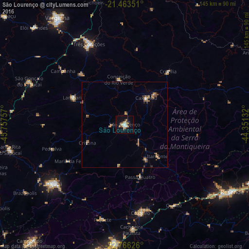
Analysis of São Lourenço night lights 2016
Square area 10x10 km:
 2.98%
2.98%90-99
3.57%80-89
2.58%70-79
3.57%60-69
4.76%50-59
0.79%40-49
0.6%30-39
2.78%20-29
2.98%10-19
17.46%0-9
57.94%Square area 50x50 km:
0.19%90-99
0.2%80-89
0.27%70-79
0.68%60-69
0.84%50-59
0.36%40-49
0.4%30-39
0.46%20-29
0.24%10-19
0.97%0-9
95.39%Clear (daylight) street map image can be seen on geolist.org.
Map coordinates:
21° 27' 48.6" South, 45° 45' 27.3" West
22° 6' 59" South, 45° 3' 16" West
22° 45' 58.5" South, 44° 21' 4.8" West
Some cities around São Lourenço sort by population:
• Caxambu
19.9 km =12.4 mi,  39°
39°
• Lambari
34.3 km =21.3 mi,  297°
297°
• Baependi
24.4 km =15.2 mi, 44°
• Cruzília
40 km =24.9 mi, 39°
• Passa Quatro
31.8 km =19.8 mi,  163°
163°
• Conceição do Rio Verde
26.4 km =16.4 mi,  353°
353°
• Itanhandu
23.5 km =14.6 mi,  148°
148°
• Cambuquira
38.5 km =23.9 mi,  319°
319°
3448616 (p: 41,143)
Sources (retrieved 2019-11-25):
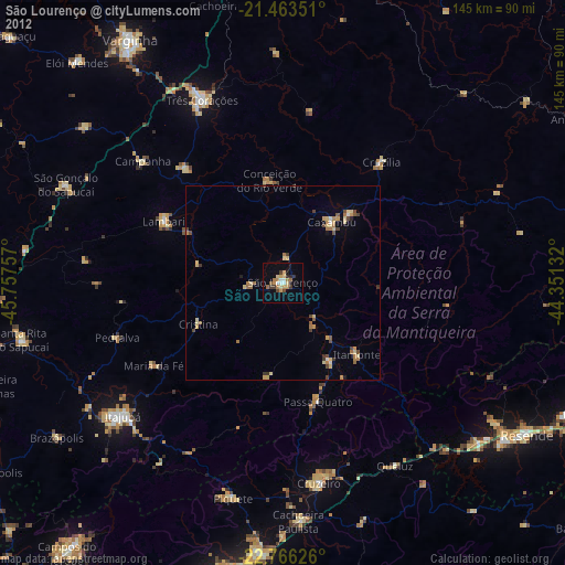
» Earth at Night: Flat Maps 2012, 2016